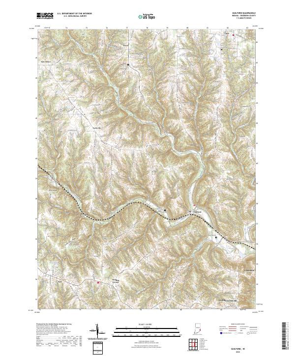
2022 Map of Guilford
USGS Topo · Published 2022About this map
Guilford sits at the confluence of several branches of Tanners Creek, anchoring a landscape defined by the deep dissection of the Dearborn County hills. This terrain is characterized by long, narrow ridgelines such as York Ridge, Sutton Ridge, and the distinctively named Devils Backbone. The settlement pattern follows these heights, with small communities like New Alsace, Bonnell, and Wrights Corner established along the crests rather than the narrow valley floors. Local history is preserved in several small burial sites, including Huber-Briggs Cem and Cambridge Cem, which mark the early pioneer families of the region. The map reveals how modern residential growth, seen in the road networks of Logan and Greendale, continues to navigate the complex topography of the river forks and steep slopes that have shaped this portion of Indiana for generations.
Find a feature on this map
121 named features on this map. Tap any name to fly to it.
Don’t see what you’re looking for? This feature index may not catch every label — zoom into the map to look around manually.
Map Details
Editions of this 2022 Guilford Map
This is the sole edition of this map. No revisions or reprints were ever made.
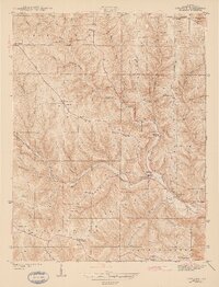
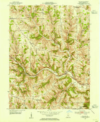
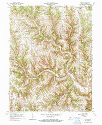
Historical Maps of York Township Through Time
4 maps found
Featured Locations
- Miller Township, IN
- York Township, IN
- Manchester Township, IN
- Logan, Logan Township
- Lawrenceburg, Lawrenceburg Township