
1933 Map of Guilford
USGS Topo · Published 1958About this map
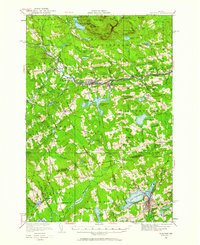
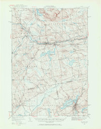
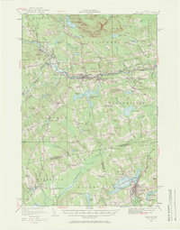
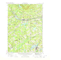
The Piscataquis River and the Bangor and Aroostook railroad corridor define the industrial and civic heart of this central Maine region during the early 1930s. The bustling town of Guilford serves as a central hub, while the Maine Central line connects southern points like Dexter and Monson Junction. This survey details a landscape of transition, where small rural schools such as Harrington Sch and Pease Sch supported scattered farming communities like Sangerville and Parkman.
Find a feature on this map
131 named features on this map. Tap any name to fly to it.
Don’t see what you’re looking for? This feature index may not catch every label — zoom into the map to look around manually.
Map Details
Editions of this 1933 Guilford Map
5 editions found
Other maps of this area

1913 · Skowhegan
USGS Topo · 1:62,500

1930 · Pittsfield
USGS Topo · 1:48,000

1931 · Stetson
USGS Topo · 1:48,000

1932 · Dover-Foxcroft
USGS Topo · 1:48,000

1932 · Pittsfield
USGS Topo · 1:62,500

1933 · Pittsfield
USGS Topo · 1:62,500

1935 · Dover-Foxcroft
USGS Topo · 1:62,500

1935 · Stetson
USGS Topo · 1:62,500

1937 · Guilford
USGS Topo · 1:62,500

1940 · Sebec
USGS Topo · 1:48,000