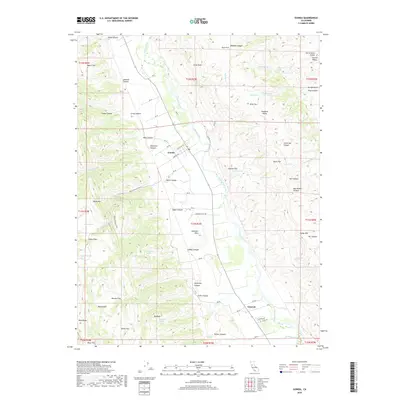
2018 Map of Guinda
USGS Topo · Published 2018About this map
Cache Creek bisects this landscape, flowing through a valley between the Capay Hills and the higher western ridges. The small community of Guinda serves as a focal point, situated where Forrest Ave and Cleveland St meet. Further south, the settlement of Tancred sits along the creek banks, connected by Rd 70. This area is defined by its numerous springs and canyon systems, suggesting a landscape where water sources like Lawson Spring and Fredericks Spring were critical to local homesteads and ranching.
Find a feature on this map
89 named features on this map. Tap any name to fly to it.
Don’t see what you’re looking for? This feature index may not catch every label — zoom into the map to look around manually.
Map Details
Editions of this 2018 Guinda Map
This is the sole edition of this map. No revisions or reprints were ever made.
Other maps of this area
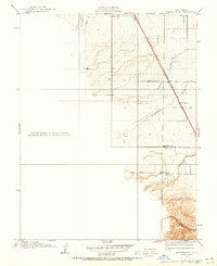
1905 · Harrington
USGS Topo · 1:24,000
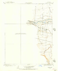
1905 · Esparto
USGS Topo · 1:24,000
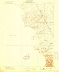
1916 · Harrington
USGS Topo · 1:31,680
1916 · Esparto
USGS Topo · 1:31,680
1924 · Capay
USGS Topo · 1:62,500
1942 · St. Helena
USGS Topo · 1:62,500
1943 · Morgan Valley
USGS Topo · 1:62,500
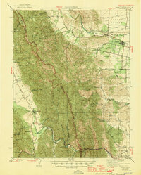
1943 · Capay
USGS Topo · 1:62,500
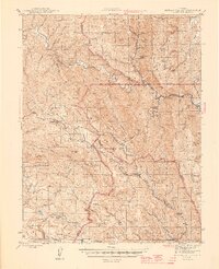
1944 · Morgan Valley
USGS Topo · 1:62,500
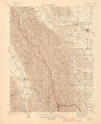
1945 · Capay
USGS Topo · 1:62,500