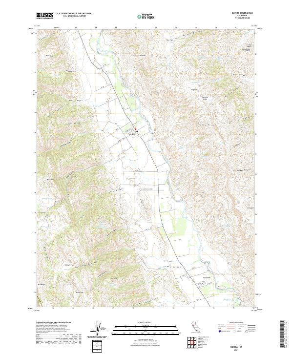
2021 Map of Guinda
USGS Topo · Published 2021About this map
Cache Creek carves through the heart of the Capay Valley, creating a fertile corridor between the Sweitzer Hills and the higher elevations of the Capay Hills. This 2021 survey shows the rural character of northern Yolo County, where the small settlement of Guinda serves as a primary waypoint along the valley floor. The landscape is defined by its dramatic relief, with numerous canyons like Hamilton Canyon and Angus Canyon feeding into the central drainage basin.
Find a feature on this map
86 named features on this map. Tap any name to fly to it.
Don’t see what you’re looking for? This feature index may not catch every label — zoom into the map to look around manually.
Map Details
Editions of this 2021 Guinda Map
This is the sole edition of this map. No revisions or reprints were ever made.
Other maps of this area

1905 · Harrington
USGS Topo · 1:24,000

1905 · Esparto
USGS Topo · 1:24,000

1916 · Harrington
USGS Topo · 1:31,680

1916 · Esparto
USGS Topo · 1:31,680

1924 · Capay
USGS Topo · 1:62,500

1942 · St. Helena
USGS Topo · 1:62,500

1943 · Morgan Valley
USGS Topo · 1:62,500

1943 · Capay
USGS Topo · 1:62,500

1944 · Morgan Valley
USGS Topo · 1:62,500

1945 · Capay
USGS Topo · 1:62,500