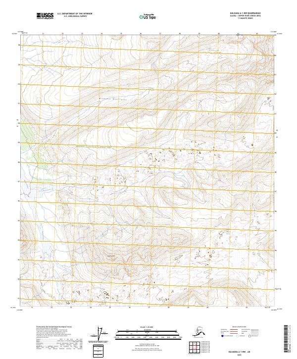
2023 Map of Gulkana A-1 NW
USGS Topo · Published 2023About this map
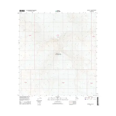
The Wrangell Mountains dominate this high-altitude landscape in the Copper River Census Area, where glacial activity and mountain terrain define the local geography. Much of the region is protected within the Wrangell-Saint Elias National Park and the adjacent Wrangell-St Elias Wilderness, reflecting a territory largely untouched by permanent settlement or infrastructure. The Sanford River flows from the massive Sanford Glacier, which occupies the southeastern corner of the quadrangle, illustrating the dynamic hydrology of the Alaskan interior. To the south, Nathlie Mtn stands as a prominent landmark amidst the intricate network of glacial meltwater and seasonal streams. This survey provides an essential view of the park's topography, highlighting the relationship between alpine peaks and the active ice fields that continue to shape the land.
Find a feature on this map
10 named features on this map. Tap any name to fly to it.
Don’t see what you’re looking for? This feature index may not catch every label — zoom into the map to look around manually.
Map Details
Editions of this 2023 Gulkana A-1 NW Map
This is the sole edition of this map. No revisions or reprints were ever made.
Other maps of this area

1949 · Gulkana B-2
USGS Topo · 1:63,360

1951 · Gulkana
USGS Topo · 1:250,000

1952 · Gulkana B-2
USGS Topo · 1:63,360

1959 · Gulkana B-1
USGS Topo · 1:63,360
1959 · Gulkana A-1
USGS Topo · 1:63,360
1959 · Gulkana A-2
USGS Topo · 1:63,360

1959 · Gulkana
USGS Topo · 1:250,000

1965 · Gulkana
USGS Topo · 1:250,000
2016 · Gulkana A-1 NW
USGS Topo · 1:25,000
2016 · Gulkana A-1 NE
USGS Topo · 1:25,000