
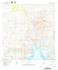
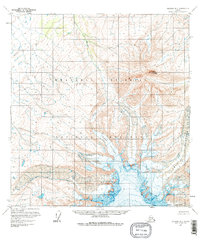
1959 Map of Gulkana B-1
USGS Topo · Published 1964About this map
Capital Mountain dominates the eastern high ground of this interior Alaska landscape, serving as a central hub for the drainage systems and glacial formations mapped in the late 1950s. The topography reveals a dramatic transition from the high peaks down into the glacial valleys, where the massive Sheep Glacier and West Glacier carve through the terrain. These ice fields feed local waterways like Sheep Creek and Boulder Creek, which flow through deep-cut valleys. The map also identifies a feature simply labeled Drop amidst the glacial moraine and ice. Mapped primarily through photogrammetric methods from aerial photography, the sheet captures the raw state of the Copper River Meridian before extensive modern infrastructure, noting that land lines represent unsurveyed locations predetermined by the Bureau of Land Management.
Find a feature on this map
10 named features on this map. Tap any name to fly to it.
Don’t see what you’re looking for? This feature index may not catch every label — zoom into the map to look around manually.
Map Details
Editions of this 1959 Gulkana B-1 Map
3 editions found
Other maps of this area

1948 · Nabesna C-6
USGS Topo · 1:63,360

1949 · Gulkana C-2
USGS Topo · 1:63,360

1949 · Gulkana B-2
USGS Topo · 1:63,360

1949 · Gulkana C-1
USGS Topo · 1:63,360

1950 · Nabesna
USGS Topo · 1:250,000

1951 · Gulkana
USGS Topo · 1:250,000

1951 · Nabesna
USGS Topo · 1:250,000

1952 · Nabesna C-6
USGS Topo · 1:63,360

1952 · Gulkana B-2
USGS Topo · 1:63,360

1952 · Gulkana C-2
USGS Topo · 1:63,360