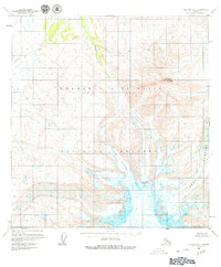
1959 Map of Gulkana B-1
USGS Topo · Published 1978About this map
Wrangell-St Elias National Monument covers the high-altitude terrain of this 1950s interior Alaska survey, where glacial movement and steep drainage basins dominate the landscape. The massive Sheep Glacier and Drop Glacier descend from the peaks, feeding into the lower ice of West Glacier at the southern edge of the sheet. These frozen giants carve the valleys that direct the flow of Boulder Creek and Sheep Creek, which drain the meltwater through the rugged elevations. Rising above the glacial valleys, the prominent summit of Capital Mountain stands as a primary landmark in the northeastern portion of the quadrangle. This map provides a detailed view of these remote features before the area’s eventual redesignation as a national park, recording the early field annotations and aerial photogrammetry used to document the terrain in 1959.
Find a feature on this map
7 named features on this map. Tap any name to fly to it.
Don’t see what you’re looking for? This feature index may not catch every label — zoom into the map to look around manually.
Map Details
Editions of this 1959 Gulkana B-1 Map
3 editions found

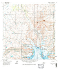
Other maps of this area

1948 · Nabesna C-6
USGS Topo · 1:63,360

1949 · Gulkana C-2
USGS Topo · 1:63,360

1949 · Gulkana B-2
USGS Topo · 1:63,360

1949 · Gulkana C-1
USGS Topo · 1:63,360

1950 · Nabesna
USGS Topo · 1:250,000

1951 · Gulkana
USGS Topo · 1:250,000

1951 · Nabesna
USGS Topo · 1:250,000

1952 · Nabesna C-6
USGS Topo · 1:63,360

1952 · Gulkana B-2
USGS Topo · 1:63,360

1952 · Gulkana C-2
USGS Topo · 1:63,360