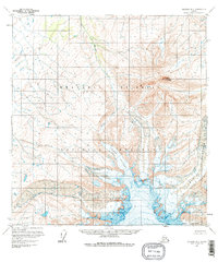
1959 Map of Gulkana B-1
USGS Topo · Published 1979About this map
Wrangell - St Elias National Monument dominates this mid-century topographic record, capturing the high-altitude glacial landscape of south-central Alaska. Based on aerial photography and field annotations from the late 1950s, the terrain is defined by the massive slow-moving ice of Sheep Glacier and West Glacier. These frozen features carve through the topography alongside Drop Glacier, feeding the headwaters of drainage systems like Boulder Creek and Sheep Creek. Near the center of the sheet, the peak of Capital Mountain rises as a prominent landmark amidst the contour lines. The map reveals an area of pure wilderness with no roads or trails recorded, emphasizing the remote nature of the monument before the era of modern accessibility.
Find a feature on this map
8 named features on this map. Tap any name to fly to it.
Don’t see what you’re looking for? This feature index may not catch every label — zoom into the map to look around manually.
Map Details
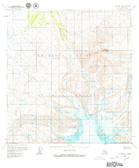
Editions of this 1959 Gulkana B-1 Map
3 editions found

Other maps of this area

1948 · Nabesna C-6
USGS Topo · 1:63,360

1949 · Gulkana C-2
USGS Topo · 1:63,360

1949 · Gulkana B-2
USGS Topo · 1:63,360

1949 · Gulkana C-1
USGS Topo · 1:63,360

1950 · Nabesna
USGS Topo · 1:250,000

1951 · Gulkana
USGS Topo · 1:250,000

1951 · Nabesna
USGS Topo · 1:250,000

1952 · Nabesna C-6
USGS Topo · 1:63,360

1952 · Gulkana B-2
USGS Topo · 1:63,360

1952 · Gulkana C-2
USGS Topo · 1:63,360