
1949 Map of Gulkana A-3
USGS Topo · Published 1959About this map
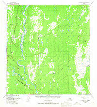
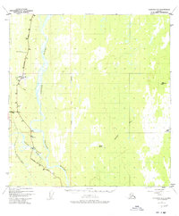
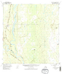
The Copper River dominates this mid-century Alaskan landscape, serving as the central topographical axis where the glacial waters of the Tazlina River merge from the west. This 1949 survey documents a critical junction of Alaskan transport, where the Richardson Highway meets the Glenn Highway near the Gateway Lodge. The presence of the Gulkana Airfield and the C A A Station highlights the era’s reliance on aviation and radio communication for navigating the interior. East of the river, the terrain rises toward Klawasi VABM 3017, characterized by numerous unnamed lakes and specific thermal features like Mineral Spring and Warm Springs. The map also captures smaller industrial footprints of the period, including a Gravel Pit near the riverbanks, used for maintaining the vital highway corridors.
Find a feature on this map
22 named features on this map. Tap any name to fly to it.
Don’t see what you’re looking for? This feature index may not catch every label — zoom into the map to look around manually.
Map Details
Editions of this 1949 Gulkana A-3 Map
4 editions found
Other maps of this area

1948 · Valdez D-5
USGS Topo · 1:63,360

1949 · Valdez D-4
USGS Topo · 1:63,360

1949 · Gulkana B-2
USGS Topo · 1:63,360

1950 · Gulkana B-3
USGS Topo · 1:63,360

1951 · Valdez D-5
USGS Topo · 1:63,360

1951 · Gulkana
USGS Topo · 1:250,000

1951 · Gulkana A-4
USGS Topo · 1:63,360

1951 · Gulkana B-4
USGS Topo · 1:63,360

1952 · Gulkana A-3
USGS Topo · 1:63,360

1952 · Valdez
USGS Topo · 1:250,000