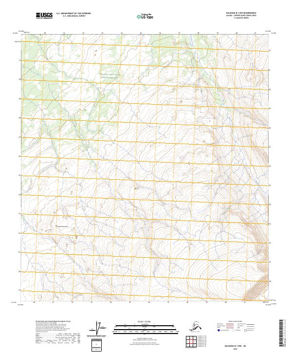
2023 Map of Gulkana B-1 NW
USGS Topo · Published 2023About this map
Boulder Creek winds through this high-elevation Alaskan landscape, providing a rare named watercourse within a region characterized by its expansive wilderness. As of 2023, large portions of the terrain fall under the protection of the Wrangell-St. Elias Wilderness and the Wrangell-Saint Elias National Preserve, illustrating a modern management landscape focused on conservation and primitive recreation. Located within the Vrangell Mountains, the topography is defined by the survey of Public Land Survey System townships T8N R5E and T7N R6E. This 2023 edition uses SPOT imagery and data from the National Hydrography Dataset to delineate the drainage patterns and wetlands that shape this high-country environment.
Find a feature on this map
1 named feature on this map. Tap any name to fly to it.
Don’t see what you’re looking for? This feature index may not catch every label — zoom into the map to look around manually.
Map Details
Editions of this 2023 Gulkana B-1 NW Map
This is the sole edition of this map. No revisions or reprints were ever made.
Other maps of this area

1949 · Gulkana C-2
USGS Topo · 1:63,360

1949 · Gulkana B-2
USGS Topo · 1:63,360

1949 · Gulkana C-1
USGS Topo · 1:63,360

1951 · Gulkana
USGS Topo · 1:250,000

1952 · Gulkana B-2
USGS Topo · 1:63,360

1952 · Gulkana C-2
USGS Topo · 1:63,360

1952 · Gulkana C-1
USGS Topo · 1:63,360

1959 · Gulkana B-1
USGS Topo · 1:63,360

1959 · Gulkana
USGS Topo · 1:250,000

1965 · Gulkana
USGS Topo · 1:250,000