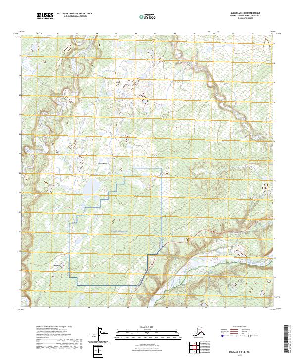
2023 Map of Gulkana B-3 NE
USGS Topo · Published 2023About this map
The confluence of the Copper River and the Gakona River anchors this landscape in the Copper River Census Area. The region is characterized by extensive wetlands and the high-altitude research infrastructure of the HAARP-Research Station, which occupies a significant footprint near the center of the sheet. Modern transportation follows the path of the Tok Cutoff Highway, providing a vital link between the scattered settlements of Gakona and Chistochina.
Find a feature on this map
12 named features on this map. Tap any name to fly to it.
Don’t see what you’re looking for? This feature index may not catch every label — zoom into the map to look around manually.
Map Details
Editions of this 2023 Gulkana B-3 NE Map
This is the sole edition of this map. No revisions or reprints were ever made.
Other maps of this area

1949 · Gulkana C-2
USGS Topo · 1:63,360

1949 · Gulkana B-2
USGS Topo · 1:63,360

1950 · Gulkana B-3
USGS Topo · 1:63,360

1950 · Gulkana C-3
USGS Topo · 1:63,360

1951 · Gulkana
USGS Topo · 1:250,000

1952 · Gulkana B-3
USGS Topo · 1:63,360

1952 · Gulkana B-2
USGS Topo · 1:63,360

1952 · Gulkana C-2
USGS Topo · 1:63,360
1952 · Gulkana C-3
USGS Topo · 1:63,360

1959 · Gulkana
USGS Topo · 1:250,000