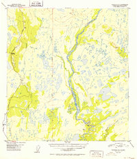
1952 Map of Gulkana C-3
USGS Topo · Published 1952About this map
The Richardson Highway carves a path through this interior Alaskan landscape, serving as the primary artery for travel and logistics in the early 1950s. The road corridor is punctuated by the Haggard Road Camp, a vital waypoint for highway maintenance and travelers in this demanding environment. To the south, the settlement of Sourdough sits near the banks of Sourdough Creek, marking a point of human activity amidst a vast network of water.
Find a feature on this map
10 named features on this map. Tap any name to fly to it.
Don’t see what you’re looking for? This feature index may not catch every label — zoom into the map to look around manually.
Map Details
Editions of this 1952 Gulkana C-3 Map
2 editions found
Other maps of this area

1949 · Gulkana C-2
USGS Topo · 1:63,360

1949 · Gulkana D-3
USGS Topo · 1:63,360

1949 · Gulkana B-2
USGS Topo · 1:63,360

1950 · Gulkana D-4
USGS Topo · 1:63,360

1950 · Gulkana B-3
USGS Topo · 1:63,360

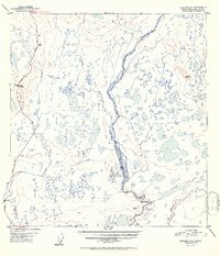
1950 · Gulkana C-3
USGS Topo · 1:63,360

1950 · Gulkana C-4
USGS Topo · 1:63,360

1951 · Gulkana
USGS Topo · 1:250,000

1951 · Gulkana B-4
USGS Topo · 1:63,360

1952 · Gulkana D-3
USGS Topo · 1:63,360