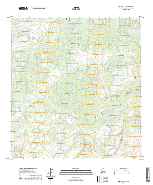
2023 Map of Gulkana C-1 SW
USGS Topo · Published 2023About this map
Wrangell-Saint Elias National Preserve encompasses most of this landscape, where the transition from expansive interior wetlands to the rising foothills of the Wrangell Mountains is meticulously documented. The hydrology is dominated by the winding course of Boulder Creek, which drains through a complex network of marshes and small ponds that define the Copper River Census Area. This region, captured in a recent 2023 survey by the U.S. Geological Survey, illustrates the vast, unpopulated character of the Alaskan interior where surveying boundaries like t10n r5e and t9n r6e provide the only human-imposed structure on an otherwise wild terrain. In the southern reach of the sheet, the protected status shifts as it enters the Wrangell-St. Elias Wilderness, marking a core area of conservation and high-elevation relief.
Find a feature on this map
10 named features on this map. Tap any name to fly to it.
Don’t see what you’re looking for? This feature index may not catch every label — zoom into the map to look around manually.
Map Details
Editions of this 2023 Gulkana C-1 SW Map
This is the sole edition of this map. No revisions or reprints were ever made.
Other maps of this area

1949 · Gulkana C-2
USGS Topo · 1:63,360

1949 · Gulkana B-2
USGS Topo · 1:63,360

1949 · Gulkana C-1
USGS Topo · 1:63,360

1951 · Gulkana
USGS Topo · 1:250,000

1952 · Gulkana B-2
USGS Topo · 1:63,360

1952 · Gulkana C-2
USGS Topo · 1:63,360

1952 · Gulkana C-1
USGS Topo · 1:63,360

1959 · Gulkana B-1
USGS Topo · 1:63,360

1959 · Gulkana
USGS Topo · 1:250,000

1965 · Gulkana
USGS Topo · 1:250,000