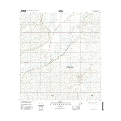
2016 Map of Gulkana C-2 SE
USGS Topo · Published 2016About this map
The Chistochina River and Copper River define the lower elevations of this 2016 survey, where glacial silt and braided water channels create a complex hydrographic network. Much of the southeastern portion of the map is situated within the Wrangell-Saint Elias National Preserve, illustrating the intersection of federally protected wilderness and essential transport corridors. The Tok Cutoff Highway runs through the central valley, providing the primary overland connection near the Chistochina Airport. This landscape is characterized by the immense scale of Alaskan river systems, where tributaries like Sinona Cr and Boulder Cr feed into the larger glacial flows. The map provides a precise view of the topography at the edge of the Copper River Basin before it ascends into the high peaks of the interior mountain ranges.
Find a feature on this map
13 named features on this map. Tap any name to fly to it.
Don’t see what you’re looking for? This feature index may not catch every label — zoom into the map to look around manually.
Map Details
Editions of this 2016 Gulkana C-2 SE Map
This is the sole edition of this map. No revisions or reprints were ever made.
Other maps of this area

1949 · Gulkana C-2
USGS Topo · 1:63,360

1949 · Gulkana B-2
USGS Topo · 1:63,360

1949 · Gulkana C-1
USGS Topo · 1:63,360

1951 · Gulkana
USGS Topo · 1:250,000

1952 · Gulkana B-2
USGS Topo · 1:63,360

1952 · Gulkana C-2
USGS Topo · 1:63,360

1952 · Gulkana C-1
USGS Topo · 1:63,360

1959 · Gulkana B-1
USGS Topo · 1:63,360

1959 · Gulkana
USGS Topo · 1:250,000

1965 · Gulkana
USGS Topo · 1:250,000