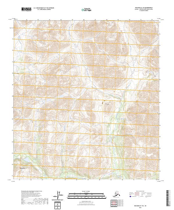
2023 Map of Gulkana D-1 SE
USGS Topo · Published 2023About this map
Chistochina sits at the southwestern edge of this landscape where the high peaks of the Alaska Range begin to give way to a network of drainage basins. The area is defined by the significant hydrologic system of Ahtell Creek and its many tributaries, including the West Fork Ahtell Creek and Grubstake Creek. This territory is characterized by steep elevation changes, punctuated by distinctive landmarks such as The Dome. The presence of the Ahtell Creek Trl suggests the historical importance of this corridor for movement through the Copper River region. The naming of Quartz Creek and Grubstake Creek reflects the region's long-standing connection to prospecting and mineral exploration, typical of the interior Alaskan backcountry during the late 20th and early 21st centuries.
Find a feature on this map
17 named features on this map. Tap any name to fly to it.
Don’t see what you’re looking for? This feature index may not catch every label — zoom into the map to look around manually.
Map Details
Editions of this 2023 Gulkana D-1 SE Map
This is the sole edition of this map. No revisions or reprints were ever made.
Other maps of this area

1948 · Nabesna C-6
USGS Topo · 1:63,360

1949 · Nabesna D-6
USGS Topo · 1:63,360

1949 · Gulkana C-1
USGS Topo · 1:63,360

1950 · Nabesna
USGS Topo · 1:250,000

1951 · Gulkana
USGS Topo · 1:250,000

1951 · Nabesna
USGS Topo · 1:250,000

1952 · Nabesna C-6
USGS Topo · 1:63,360

1952 · Nabesna D-6
USGS Topo · 1:63,360

1952 · Gulkana C-1
USGS Topo · 1:63,360
1954 · Gulkana D-1
USGS Topo · 1:63,360