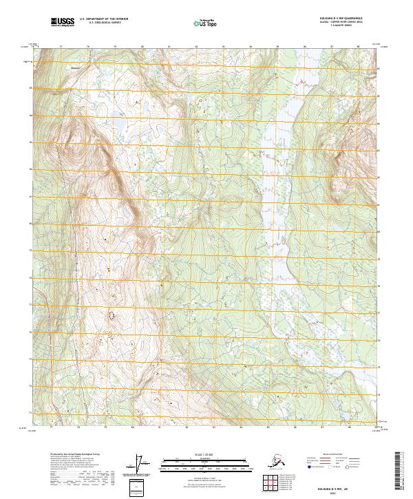
2023 Map of Gulkana D-3 NW
USGS Topo · Published 2023About this map
Paxson serves as the primary landmark in this interior Alaskan landscape, situated where critical infrastructure meets the high-elevation terrain of the Copper River Census Area. The Alaska Pipeline and the Richardson Highway run roughly parallel along the western edge of the quadrangle, illustrating the concentration of modern transport and energy corridors through the mountain passes. To the east, the Gakona River and its tributary Gakona River Tri weave through a network of wetlands and braided channels, highlighting the region's complex glacial drainage patterns. This 2023 survey documents a remote junction where human engineering interacts with a vast watershed, preserving the spatial relationship between the historic highway route and the essential petroleum infrastructure that defines the modern Alaskan interior.
Find a feature on this map
11 named features on this map. Tap any name to fly to it.
Don’t see what you’re looking for? This feature index may not catch every label — zoom into the map to look around manually.
Map Details
Editions of this 2023 Gulkana D-3 NW Map
This is the sole edition of this map. No revisions or reprints were ever made.
Other maps of this area

1949 · Mount Hayes A-4
USGS Topo · 1:63,360

1949 · Gulkana D-3
USGS Topo · 1:63,360

1950 · Mount Hayes
USGS Topo · 1:250,000

1950 · Gulkana D-4
USGS Topo · 1:63,360

1950 · Mount Hayes A-3
USGS Topo · 1:63,360

1951 · Gulkana
USGS Topo · 1:250,000

1951 · Mount Hayes
USGS Topo · 1:250,000

1952 · Gulkana D-3
USGS Topo · 1:63,360

1952 · Mount Hayes A-3
USGS Topo · 1:63,360

1952 · Gulkana D-4
USGS Topo · 1:63,360