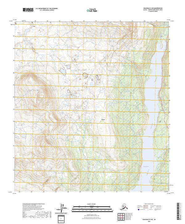
2023 Map of Gulkana D-4 NE
USGS Topo · Published 2023About this map
Paxson serves as a critical junction in this interior Alaskan landscape, where the Richardson Highway skirts the eastern shore of the Gulkana River. The terrain is defined by the sharp transition from the wetlands and braided waters surrounding Paxson Lake to the high elevations of Flat Top Mtn in the west. This 2023 survey illustrates the modern configuration of the historic transportation corridor, including the Middle Fork Northeast Trl which provides access into the backcountry. The map details the complex hydrography of the Gulkana basin, showing how the river system and lake dominate the low-lying valley floor between rising mountain ranges.
Find a feature on this map
13 named features on this map. Tap any name to fly to it.
Don’t see what you’re looking for? This feature index may not catch every label — zoom into the map to look around manually.
Map Details
Editions of this 2023 Gulkana D-4 NE Map
This is the sole edition of this map. No revisions or reprints were ever made.
Other maps of this area

1949 · Mount Hayes A-4
USGS Topo · 1:63,360

1949 · Gulkana D-3
USGS Topo · 1:63,360

1950 · Mount Hayes
USGS Topo · 1:250,000

1950 · Gulkana D-4
USGS Topo · 1:63,360

1950 · Mount Hayes A-3
USGS Topo · 1:63,360

1951 · Gulkana
USGS Topo · 1:250,000

1951 · Mount Hayes
USGS Topo · 1:250,000

1952 · Gulkana D-3
USGS Topo · 1:63,360

1952 · Mount Hayes A-3
USGS Topo · 1:63,360

1952 · Gulkana D-4
USGS Topo · 1:63,360