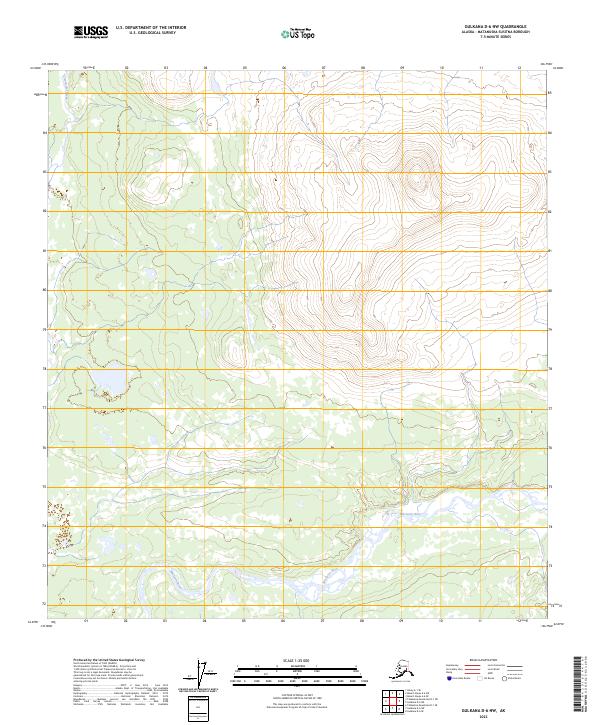
2023 Map of Gulkana D-6 NW
USGS Topo · Published 2023About this map
Clearwater Creek flows through the northwestern corner of this territory in the Matanuska-Susitna Borough, tracing a path through a landscape defined by sharp elevation shifts and intricate drainage patterns. The 2023 survey by the U.S. Geological Survey details the high-altitude topography where Township 22 South and Township 14 North meet, illustrating a remote portion of the Alaskan interior prior to significant human infrastructure. While modern mapping techniques capture the precise contours of the ridges and valleys, the area remains dominated by natural water systems and undeveloped terrain, offering a clear view of the state's wilderness and the hydrological network feeding into the larger regional basins.
Find a feature on this map
1 named feature on this map. Tap any name to fly to it.
Don’t see what you’re looking for? This feature index may not catch every label — zoom into the map to look around manually.
Map Details
Editions of this 2023 Gulkana D-6 NW Map
This is the sole edition of this map. No revisions or reprints were ever made.
Other maps of this area

1949 · Healy A-1
USGS Topo · 1:63,360

1950 · Talkeetna Mountains
USGS Topo · 1:250,000

1950 · Mount Hayes
USGS Topo · 1:250,000

1950 · Mount Hayes A-6
USGS Topo · 1:63,360

1951 · Healy
USGS Topo · 1:250,000

1951 · Gulkana
USGS Topo · 1:250,000

1951 · Mount Hayes
USGS Topo · 1:250,000

1951 · Gulkana D-6
USGS Topo · 1:63,360

1951 · Talkeetna Mountains D-1
USGS Topo · 1:63,360
1952 · Talkeetna Mountains D-1
USGS Topo · 1:63,360