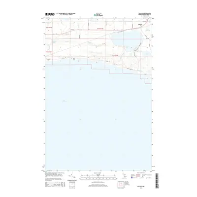
2014 Map of Gulliver
USGS Topo · Published 2014About this map
Lake Michigan dominates the southern reaches of this Upper Peninsula survey, where the shoreline is punctuated by Rocky Point. Inland, the settlement of Gulliver serves as a hub near the north shore of Gulliver Lake. The landscape is defined by its abundance of water bodies, including Anderson Lake, Clear Lake, and the smaller Little Muddy Lake. A network of creeks, such as Nelson Cr, Gents Cr, and Fernia Cr, drain the low-lying terrain into the larger lakes.
Find a feature on this map
38 named features on this map. Tap any name to fly to it.
Don’t see what you’re looking for? This feature index may not catch every label — zoom into the map to look around manually.
Map Details
Editions of this 2014 Gulliver Map
This is the sole edition of this map. No revisions or reprints were ever made.
Other maps of this area
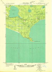
1931 · Seul Choix Point NW
USGS Topo · 1:31,680
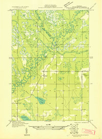
1931 · Manistique River SE
USGS Topo · 1:31,680
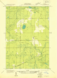
1931 · Blaney SW
USGS Topo · 1:31,680
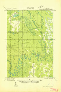
1931 · Manistique River SW
USGS Topo · 1:31,680
1954 · Escanaba
USGS Topo · 1:250,000
1954 · Sault Sainte Marie
USGS Topo · 1:250,000
1955 · Cheboygan
USGS Topo · 1:250,000
1956 · Sault Sainte Marie
USGS Topo · 1:250,000
1957 · Escanaba
USGS Topo · 1:250,000
1957 · Sault Sainte Marie
USGS Topo · 1:250,000