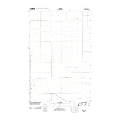
2010 Map of Gully
USGS Topo · Published 2010About this map
The small community of Gully anchors this part of Polk County, where the agricultural grid is interrupted by the meandering path of the Lost River as it flows toward the west. This 2010 survey by the U.S. Geological Survey documents the town's essential infrastructure, including the Gully Post Office and the Gully Cemetery located just outside the main cluster of buildings. The landscape is primarily defined by long section-line roads such as 400th Ave SE and Old Jefferson Rd, which facilitate the region's rural transit and farming economy.
Find a feature on this map
15 named features on this map. Tap any name to fly to it.
Don’t see what you’re looking for? This feature index may not catch every label — zoom into the map to look around manually.
Map Details
Editions of this 2010 Gully Map
This is the sole edition of this map. No revisions or reprints were ever made.
Other maps of this area

1919 · Fosston
USGS Topo · 1:62,500

1919 · Churnes
USGS Topo · 1:62,500

1919 · Winsor
USGS Topo · 1:62,500

1943 · Bagley
USGS Topo · 1:62,500

1954 · Bemidji
USGS Topo · 1:250,000

1957 · Bemidji
USGS Topo · 1:250,000

1958 · Bemidji
USGS Topo · 1:250,000

1969 · Olga
USGS Topo · 1:24,000

1969 · Clearbrook
USGS Topo · 1:24,000

1969 · Gonvick
USGS Topo · 1:24,000