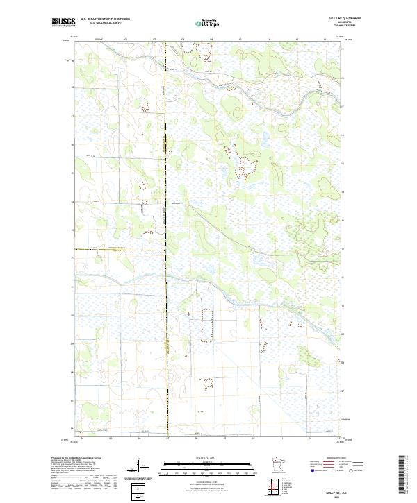
2022 Map of Gully NE
USGS Topo · Published 2022About this map
The Red Lake Reservation dominates this landscape in Northern Minnesota, where the Clearwater, Pennington, and Polk county lines converge. The northern half of the sheet is defined by the winding course of the Red Lake River, accompanied by the Red Lake River Trl and River Rd. These waterways weave through a complex mosaic of wetlands and small basins, characteristic of the glacial lake plain.
Find a feature on this map
24 named features on this map. Tap any name to fly to it.
Don’t see what you’re looking for? This feature index may not catch every label — zoom into the map to look around manually.
Map Details
Editions of this 2022 Gully NE Map
This is the sole edition of this map. No revisions or reprints were ever made.
Other maps of this area

1918 · Jelle
USGS Topo · 1:62,500

1919 · Churnes
USGS Topo · 1:62,500

1919 · Winsor
USGS Topo · 1:62,500

1954 · Bemidji
USGS Topo · 1:250,000

1954 · Roseau
USGS Topo · 1:250,000

1957 · Roseau
USGS Topo · 1:250,000

1957 · Bemidji
USGS Topo · 1:250,000

1958 · Bemidji
USGS Topo · 1:250,000

1958 · Roseau
USGS Topo · 1:250,000

1972 · Erie
USGS Topo · 1:24,000