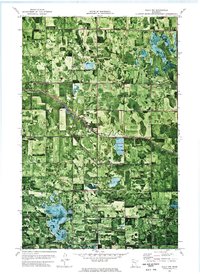
1972 Map of Gully NW
USGS Topo · Published 1976About this map
Deer Park, Hickory, and Johnson townships form a rural mosaic of timber and agricultural land in this orthophotomap from the early 1970s. The landscape is defined by its water management and low-lying topography, where the natural course of the River is augmented by the straight lines of the Judicial Ditch No 3 and Judicial Ditch No 1. These drainage systems were vital for local agriculture, supporting features like the large Rice Field near the center of the sheet.
Find a feature on this map
12 named features on this map. Tap any name to fly to it.
Don’t see what you’re looking for? This feature index may not catch every label — zoom into the map to look around manually.
Map Details
Editions of this 1972 Gully NW Map
This is the sole edition of this map. No revisions or reprints were ever made.
Other maps of this area

1919 · Grit
USGS Topo · 1:62,500

1919 · Winsor
USGS Topo · 1:62,500

1954 · Bemidji
USGS Topo · 1:250,000

1954 · Roseau
USGS Topo · 1:250,000

1957 · Roseau
USGS Topo · 1:250,000

1957 · Bemidji
USGS Topo · 1:250,000

1958 · Bemidji
USGS Topo · 1:250,000

1958 · Roseau
USGS Topo · 1:250,000
1971 · Oklee
USGS Topo · 1:24,000
1971 · Roland
USGS Topo · 1:24,000