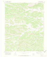
1971 Map of Gulnare
USGS Topo · Published 1973About this map
Gulnare sits at the eastern edge of a landscape defined by deep canyons and the sprawling Spanish Peaks State Wildlife Area. This 1971 survey captures the transition from the high-elevation drainage of Trujillo Creek and the Apishapa River into the rugged southern Colorado interior. The map reveals a network of remote ranching and grazing land marked by numerous jeep trails that follow the natural contours of Jarosa Canyon, Burro Canyon, and Lincoln Canyon.
Find a feature on this map
25 named features on this map. Tap any name to fly to it.
Don’t see what you’re looking for? This feature index may not catch every label — zoom into the map to look around manually.
Map Details
Editions of this 1971 Gulnare Map
4 editions found
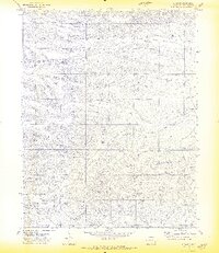
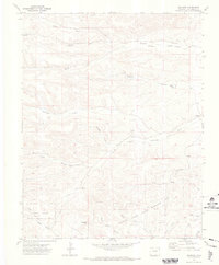
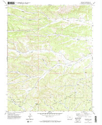
Other maps of this area

1891 · Spanish Peaks
USGS Topo · 1:125,000

1893 · Spanish Peaks
USGS Topo · 1:125,000

1895 · Spanish Peaks
USGS Topo · 1:125,000

1897 · Spanish Peaks
USGS Topo · 1:125,000

1900 · Spanish Peaks
USGS Topo · 1:125,000

1951 · Madrid
USGS Topo · 1:24,000

1954 · Trinidad
USGS Topo · 1:250,000

1955 · Trinidad
USGS Topo · 1:250,000

1958 · Trinidad
USGS Topo · 1:250,000

1959 · Trinidad
USGS Topo · 1:250,000