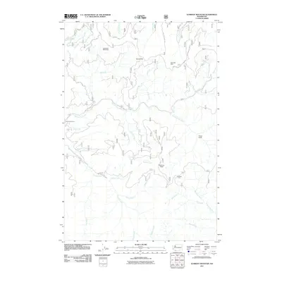
2011 Map of Gumboot Mountain
USGS Topo · Published 2011About this map
Gumboot Mountain and the surrounding high-elevation terrain of Clark County are defined by a complex network of forest roads and river systems as they appeared in 2011. This quadrangle captures a period of active land management where Nat For Dev RD 53 and other Forest Development Roads navigate the steep divides between the East Fork Lewis River and the Washougal River. The geography is shaped by prominent landmarks like Saturday Rock and McKinley Ridge, which separate the various drainage basins.
Find a feature on this map
35 named features on this map. Tap any name to fly to it.
Don’t see what you’re looking for? This feature index may not catch every label — zoom into the map to look around manually.
Map Details
Editions of this 2011 Gumboot Mountain Map
This is the sole edition of this map. No revisions or reprints were ever made.
Other maps of this area

1918 · Troutdale
USGS Topo · 1:62,500

1934 · Troutdale
USGS Topo · 1:48,000

1940 · Lookout Mtn
USGS Topo · 1:62,500

1941 · Yacolt
USGS Topo · 1:62,500

1941 · Camas
USGS Topo · 1:62,500

1942 · Camas
USGS Topo · 1:62,500

1948 · Vancouver
USGS Topo · 1:250,000

1950 · Vancouver
USGS Topo · 1:250,000

1950 · Vancouver
USGS Topo · 1:250,000

1953 · Lookout Mtn
USGS Topo · 1:62,500