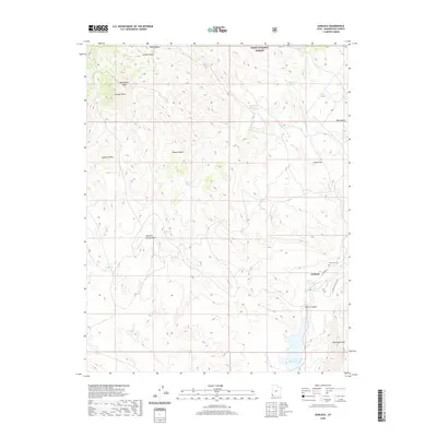
2020 Map of Gunlock
USGS Topo · Published 2020About this map
Gunlock sits at the eastern edge of this Washington County survey, where the Santa Clara River flows toward the Gunlock Reservoir. The landscape is dominated by the transition between the Dixie National Forest and the Mojave Desert, marked by stark terrain features like Jackson Peak and the volcanic-associated Red Mountains. This modern topographical study captures the water-dependent settlement pattern of the high desert, centered on the river and its impoundment. Local history is anchored at the Gunlock Cem near N Main St, while the surrounding backcountry is etched with descriptive place names such as Arsenic Gulch, Miners Canyon, and Manganese Wash, reflecting a history of mineral exploration and rugged land use. From the heights of Tobin Bench to the drainage of Pahcoon Spring Wash, the map documents a complex network of springs like Grapevine Spring and Eightmile Spring that remain vital landmarks in this arid environment.
Find a feature on this map
26 named features on this map. Tap any name to fly to it.
Don’t see what you’re looking for? This feature index may not catch every label — zoom into the map to look around manually.
Map Details
Editions of this 2020 Gunlock Map
This is the sole edition of this map. No revisions or reprints were ever made.
Other maps of this area

1885 · St. George
USGS Topo · 1:250,000

1891 · St. George
USGS Topo · 1:250,000

1953 · Cedar City
USGS Topo · 1:250,000

1954 · Beaver Dam Mts NE
USGS Topo · 1:24,000

1954 · Gunlock
USGS Topo · 1:24,000

1954 · St. George
USGS Topo · 1:62,500

1956 · St. George NW
USGS Topo · 1:24,000

1958 · Cedar City
USGS Topo · 1:250,000

1962 · Cedar City
USGS Topo · 1:250,000
1972 · Gunlock
USGS Topo · 1:24,000