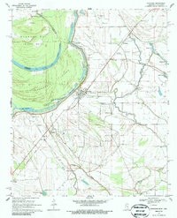
1969 Map of Gunnison
USGS Topo · Published 1986About this map
Gunnison and the surrounding Bolivar County delta lands appear here in the late 1960s, defined by the sweeping curves of the Mississippi River. The landscape is a complex network of active and former watercourses, including the oxbows of Old River Lake and Lake Concordia. A massive Levee system protects the agricultural plains where smaller settlements like Perthshire and Waxhaw are situated. An Old Railroad Grade cuts through the southwestern section, signaling the changing transportation patterns of the mid-century as rail lines gave way to roads.
Find a feature on this map
43 named features on this map. Tap any name to fly to it.
Don’t see what you’re looking for? This feature index may not catch every label — zoom into the map to look around manually.
Map Details
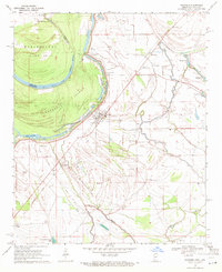
Editions of this 1969 Gunnison Map
2 editions found
Other maps of this area

1930 · Mellwood
USGS Topo · 1:62,500

1939 · Henrico
USGS Topo · 1:62,500

1939 · Pace
USGS Topo · 1:62,500

1939 · Big Island
USGS Topo · 1:62,500

1939 · Mellwood
USGS Topo · 1:62,500

1948 · Helena
USGS Topo · 1:250,000

1950 · Helena
USGS Topo · 1:250,000

1953 · Greenwood
USGS Topo · 1:250,000

1954 · Mellwood
USGS Topo · 1:62,500

1954 · Henrico
USGS Topo · 1:62,500