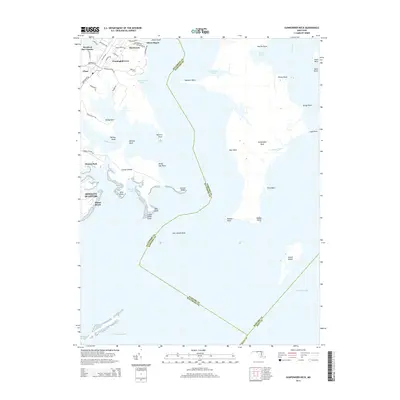
2014 Map of Gunpowder Neck
USGS Topo · Published 2014About this map
Gunpowder Neck and the surrounding Chesapeake estuaries define this landscape where land and water meet in a complex of points and coves. The peninsula is flanked by the Bush River and Saltpeter Creek, extending into the bay toward the landmark Pooles Island. Residential developments such as Oliver Beach, Harewood, and Bowleys Quarters occupy the western shores, while the neck itself remains largely open terrain. This topography illustrates the environmental interface of Harford County, where tidal inlets like Cunninghill Cove and Hawthorn Cove slice into the shoreline. The transition from established communities like Chase and Miami Beach to the broad expanse of the Chesapeake Bay highlights the area's coastal character, with various points including Rickett Point and Robins Point marking the jagged southern terminus of the peninsula.
Find a feature on this map
62 named features on this map. Tap any name to fly to it.
Don’t see what you’re looking for? This feature index may not catch every label — zoom into the map to look around manually.
Map Details
Editions of this 2014 Gunpowder Neck Map
This is the sole edition of this map. No revisions or reprints were ever made.
Other maps of this area

1893 · North Point
USGS Topo · 1:62,500

1893 · Gunpowder
USGS Topo · 1:62,500

1898 · Tolchester
USGS Topo · 1:125,000

1900 · Betterton
USGS Topo · 1:62,500

1901 · Chestertown
USGS Topo · 1:62,500

1901 · Gunpowder
USGS Topo · 1:62,500

1903 · Tolchester
USGS Topo · 1:125,000

1904 · North Point
USGS Topo · 1:62,500

1908 · Tolchester
USGS Topo · 1:125,000

1920 · Chestertown
USGS Topo · 1:62,500