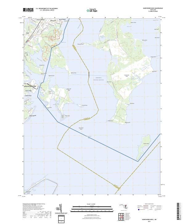
2023 Map of Gunpowder Neck
USGS Topo · Published 2023About this map
Gunpowder Neck dominates this coastal landscape where the Gunpowder River meets the Chesapeake Bay. The map captures a complex shoreline of inlets and points, including Dundee Creek and Saltpeter Creek, which frame established communities like Bowleys Quarters and Miami Beach. The transition from residential pockets like Harewood Park and Oliver Beach to the sprawling wetlands of Tripcellar Swamp illustrates the region's character as both a suburban refuge and a maritime environment.
Find a feature on this map
76 named features on this map. Tap any name to fly to it.
Don’t see what you’re looking for? This feature index may not catch every label — zoom into the map to look around manually.
Map Details
Editions of this 2023 Gunpowder Neck Map
This is the sole edition of this map. No revisions or reprints were ever made.
Other maps of this area

1893 · North Point
USGS Topo · 1:62,500

1893 · Gunpowder
USGS Topo · 1:62,500

1898 · Tolchester
USGS Topo · 1:125,000

1900 · Betterton
USGS Topo · 1:62,500

1901 · Chestertown
USGS Topo · 1:62,500

1901 · Gunpowder
USGS Topo · 1:62,500

1903 · Tolchester
USGS Topo · 1:125,000

1904 · North Point
USGS Topo · 1:62,500

1908 · Tolchester
USGS Topo · 1:125,000

1920 · Chestertown
USGS Topo · 1:62,500