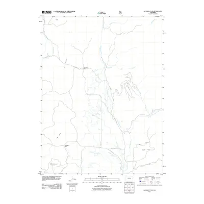
2011 Map of Gunsight Pass
USGS Topo · Published 2011About this map
Troublesome Creek and its many tributaries form the primary drainage system through this high-altitude ranching and mining landscape. The map highlights an extensive water management network essential to the high mountain valleys, including Ennis Ditch, Kurtz Ditch, Missouri Ditch, and Pickering Ditch. These man-made features underscore the historical importance of water rights and irrigation in Grand County.
Find a feature on this map
35 named features on this map. Tap any name to fly to it.
Don’t see what you’re looking for? This feature index may not catch every label — zoom into the map to look around manually.
Map Details
Editions of this 2011 Gunsight Pass Map
This is the sole edition of this map. No revisions or reprints were ever made.
Other maps of this area

1954 · Craig
USGS Topo · 1:250,000

1956 · Kremmling
USGS Topo · 1:62,500

1956 · Parkview Mountain
USGS Topo · 1:24,000

1956 · Whiteley Peak
USGS Topo · 1:24,000

1956 · Hyannis Peak
USGS Topo · 1:24,000

1956 · Hyannis Peak
USGS Topo · 1:62,500

1956 · Rand
USGS Topo · 1:62,500

1957 · Craig
USGS Topo · 1:250,000

1957 · Hot Sulphur Springs
USGS Topo · 1:62,500

1958 · Craig
USGS Topo · 1:250,000