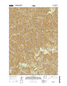
2014 Map of Gunter
USGS Topo · Published 2014About this map
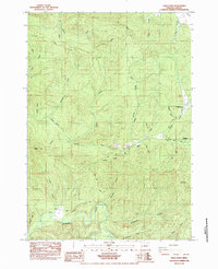
Gunter occupies a quiet section of the Oregon Coast Range where the headwaters of the Siuslaw River and the Smith River nearly meet. This 2014 topographic study documents the rugged drainage systems of the region, specifically around the Lane Co / Douglas Co line. Local history is anchored by the Gunter Cem near the river, a vital point for genealogists researching the families who settled this timber-heavy landscape. The map illustrates a transition from the elevated Yellow Point down to the varied creek beds of Hardenbrook Cr and Devils Club Cr. A complex network of forestry and access routes, including N Sister Rd and Clabber Creek Rd, underscores the ongoing relationship between industry and the remote Pacific Northwest terrain. Several small water bodies like Esmond Lake and Yellow Lake dot the higher elevations between the deep draws of Hell Hollow and Slideout Cr.
Find a feature on this map
46 named features on this map. Tap any name to fly to it.
Don’t see what you’re looking for? This feature index may not catch every label — zoom into the map to look around manually.
Map Details
Editions of this 2014 Gunter Map
This is the sole edition of this map. No revisions or reprints were ever made.
Other maps of this area
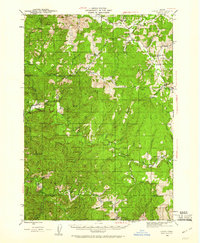
1942 · Crow
USGS Topo · 1:62,500
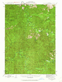
1942 · Roman Nose Mtn
USGS Topo · 1:62,500
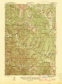
1945 · Crow
USGS Topo · 1:62,500
1945 · Roman Nose Mtn
USGS Topo · 1:62,500
1954 · Drain
USGS Topo · 1:62,500
1955 · Elkton
USGS Topo · 1:62,500

1958 · Roseburg
USGS Topo · 1:250,000

1959 · Roseburg
USGS Topo · 1:250,000
1979 · Cottage Grove
USGS Topo · 1:100,000
1984 · High Point
USGS Topo · 1:24,000