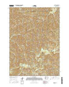
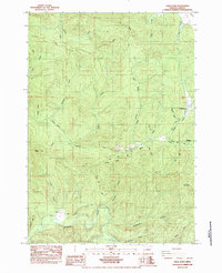
2017 Map of Gunter
USGS Topo · Published 2017About this map
The settlement of Gunter occupies a transition point between the drainages of the Siuslaw River and the Smith River in this 2017 study of the Douglas and Lane County line. The landscape is defined by its complex hydrology and timber-access network, featuring a dense system of springs and creeks such as Clabber Cr and Pearl Cr. Higher elevations are marked by landmarks like Yellow Point Lookout and humorously named spots like Duck Soup and Hell Hollow. Genealogists and local historians will find the Gunter Cem positioned near the town site, while a series of remote lakes, including Esmond Lake and Yellow Lake, are scattered across the timberlands. The infrastructure is primarily composed of Bureau of Land Management routes and named forest roads like Gunter-Alma Rd, which trace the ridges and valley floors to connect these isolated points of interest.
Find a feature on this map
58 named features on this map. Tap any name to fly to it.
Don’t see what you’re looking for? This feature index may not catch every label — zoom into the map to look around manually.
Map Details
Editions of this 2017 Gunter Map
This is the sole edition of this map. No revisions or reprints were ever made.
Other maps of this area
1942 · Crow
USGS Topo · 1:62,500
1942 · Roman Nose Mtn
USGS Topo · 1:62,500
1945 · Crow
USGS Topo · 1:62,500
1945 · Roman Nose Mtn
USGS Topo · 1:62,500
1954 · Drain
USGS Topo · 1:62,500
1955 · Elkton
USGS Topo · 1:62,500

1958 · Roseburg
USGS Topo · 1:250,000

1959 · Roseburg
USGS Topo · 1:250,000
1979 · Cottage Grove
USGS Topo · 1:100,000
1984 · High Point
USGS Topo · 1:24,000