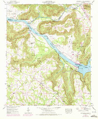
1948 Map of Guntersville Dam
USGS Topo · Published 1972About this map
The Guntersville Dam stands as the central engineering feat of this landscape, impounding the waters of the Tennessee River to form Wheeler Lake and Guntersville Lake. The surrounding terrain is characterized by steep ridges and hidden coves, including Pea Ridge Mountain and Georgia Mountain, which frame the river valley. Settlement is concentrated in small upland communities and along the base of these heights, with Union Grove and Black Center serving as local hubs.
Find a feature on this map
65 named features on this map. Tap any name to fly to it.
Don’t see what you’re looking for? This feature index may not catch every label — zoom into the map to look around manually.
Map Details
Editions of this 1948 Guntersville Dam Map
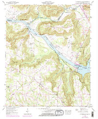
2 editions found
Other maps of this area

1885 · Gadsden
USGS Topo · 1:125,000

1888 · Cullman
USGS Topo · 1:125,000

1888 · Gadsden
USGS Topo · 1:125,000

1888 · Scottsboro
USGS Topo · 1:125,000

1888 · Huntsville
USGS Topo · 1:125,000

1892 · Cullman
USGS Topo · 1:125,000

1892 · Huntsville
USGS Topo · 1:125,000

1892 · Scottsboro
USGS Topo · 1:125,000

1892 · Gadsden
USGS Topo · 1:125,000

1895 · Gadsden
USGS Topo · 1:125,000