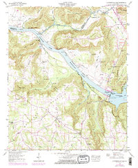
1948 Map of Guntersville Dam
USGS Topo · Published 1972About this map
Guntersville Dam stands as the central landmark of this postwar landscape, regulating the waters of the Tennessee River where Wheeler Lake and Guntersville Lake meet. The terrain is defined by dramatic elevation changes between the river valley and the steep heights of Merrill Mountain and Georgia Mountain. The settlement pattern reflects a deeply rooted rural community, with small nodes like Beech Spring and Union Grove serving as local centers. Notable social markers include Bean Rock School and several country churches like Sweet Home Church and Union Chapel Church. The presence of Neighbors Mill on Shoal Creek and the Old Cherokee School Lands indicates the historical layering of land use in this part of Marshall County. Local history researchers will find a high density of family-named landmarks, from Cloud Cem to the Robertson Reservation, alongside industrial markers like the river gaging stations.
Find a feature on this map
76 named features on this map. Tap any name to fly to it.
Don’t see what you’re looking for? This feature index may not catch every label — zoom into the map to look around manually.
Map Details
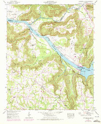
Editions of this 1948 Guntersville Dam Map
2 editions found
Other maps of this area

1885 · Gadsden
USGS Topo · 1:125,000

1888 · Cullman
USGS Topo · 1:125,000

1888 · Gadsden
USGS Topo · 1:125,000

1888 · Scottsboro
USGS Topo · 1:125,000

1888 · Huntsville
USGS Topo · 1:125,000

1892 · Cullman
USGS Topo · 1:125,000

1892 · Huntsville
USGS Topo · 1:125,000

1892 · Scottsboro
USGS Topo · 1:125,000

1892 · Gadsden
USGS Topo · 1:125,000

1895 · Gadsden
USGS Topo · 1:125,000