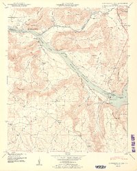
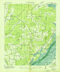
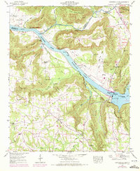
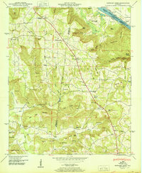
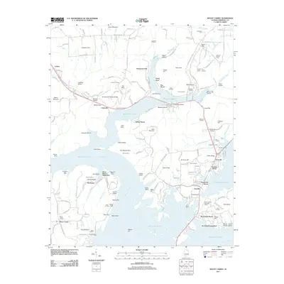
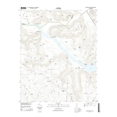
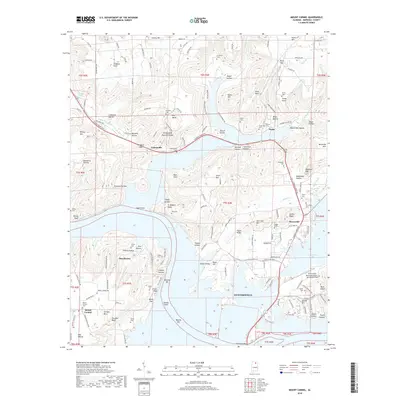
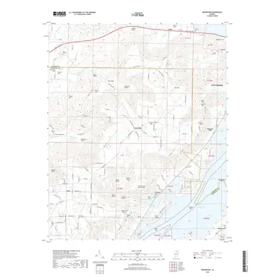
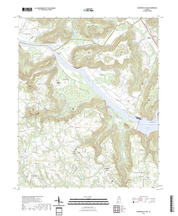
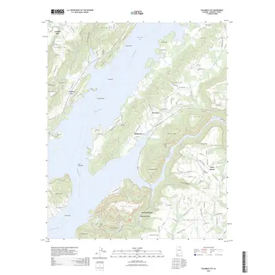
1950 Map of Guntersville Dam
USGS Topo · Published 1950About this map
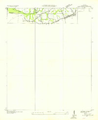
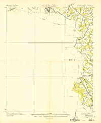
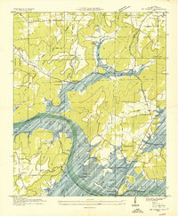
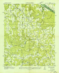
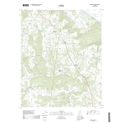
Guntersville Dam anchors this post-war landscape where the Tennessee River broadens into the Wheeler Reservoir. The geography is defined by deep coves and prominent ridges, including Pea Ridge Mountain and Georgia Mountain, which separate small farming communities and family-named homesteads. The transition of the river into a reservoir system is evidenced by the presence of river mile markers and the N C & St L Ry Ferry crossing near Parches Cove. Local life is recorded through numerous small institutions, from Sweet Home Church and Union Chapel Church to the rural Mobbs School. Along the water's edge, industrial and navigational sites like Neighbors Mill and gaging stations reflect the early management of the river valley. The map also traces a network of family cemeteries, such as Patterson Cem and Boggess Cem, providing a detailed record for genealogists researching the residents of Marshall County and Madison County.
Find a feature on this map
72 named features on this map. Tap any name to fly to it.
Don’t see what you’re looking for? This feature index may not catch every label — zoom into the map to look around manually.
Map Details
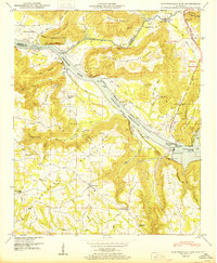
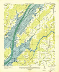
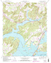
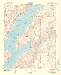
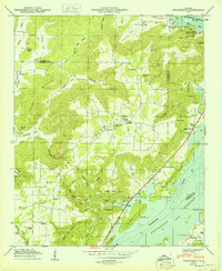
Editions of this 1950 Guntersville Dam Map
2 editions found
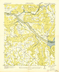
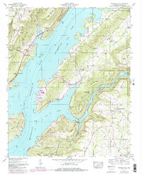
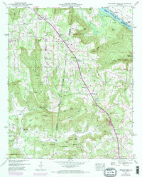
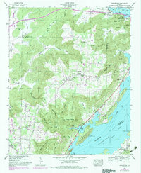
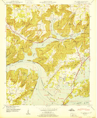
Historical Maps of Union Grove Through Time
46 maps found
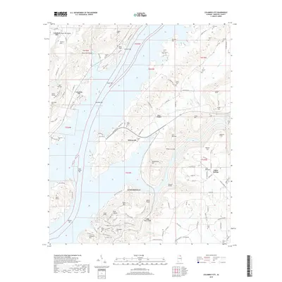
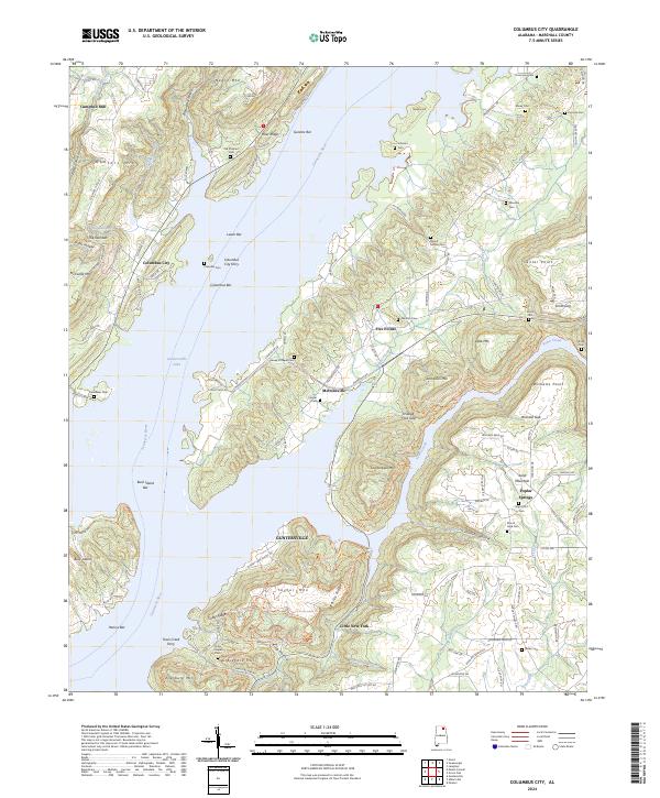
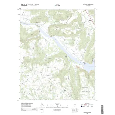
1936 Columbus City
Marshall County, AL
1936 Guntersville Dam
Marshall County, AL
1936 High Point
Marshall County, AL
1936 Mountainboro
Marshall County, AL
1936 Mt Carmel
Marshall County, AL
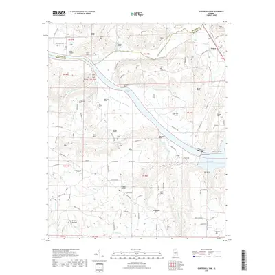
1936 Newsome Sinks
Marshall County, AL
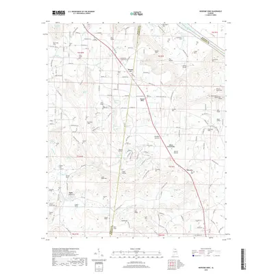
1936 Swearengin
Marshall County, AL
1947 Columbus City
Marshall County, AL
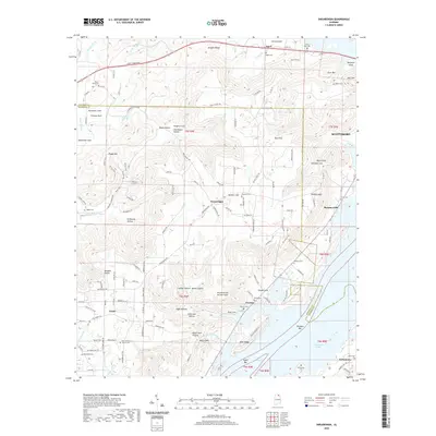
1947 Newsome Sinks
Marshall County, AL
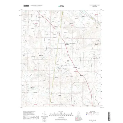
1947 Swearengin
Marshall County, AL
1948 Guntersville Dam
Marshall County, AL
1948 Mt Carmel
Marshall County, AL
1949 Columbus City
Marshall County, AL
1950 Guntersville Dam
Marshall County, AL
1950 Mt Carmel
Marshall County, AL
1950 Newsome Sinks
Marshall County, AL
1950 Swearengin
Marshall County, AL

1984 Mt Carmel
Marshall County, AL
2011 Columbus City
Marshall County, AL
2011 Guntersville Dam
Marshall County, AL
2011 Mount Carmel
Marshall County, AL
2011 Newsome Sinks
Marshall County, AL
2011 Swearengin
Marshall County, AL
2014 Columbus City
Marshall County, AL
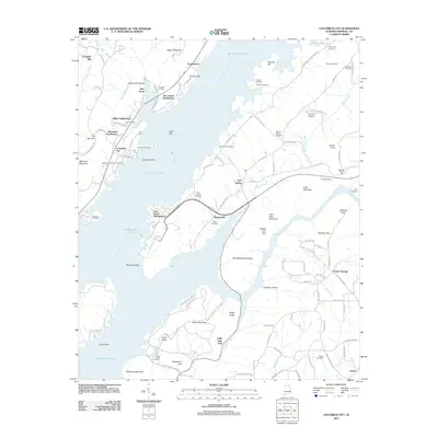
2014 Guntersville Dam
Marshall County, AL
2014 Mount Carmel
Marshall County, AL
2014 Newsome Sinks
Marshall County, AL
2014 Swearengin
Marshall County, AL
2018 Columbus City
Marshall County, AL
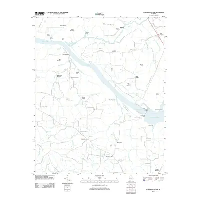
2018 Guntersville Dam
Marshall County, AL
2018 Mount Carmel
Marshall County, AL
2018 Newsome Sinks
Marshall County, AL
2018 Swearengin
Marshall County, AL
2020 Columbus City
Marshall County, AL
2020 Guntersville Dam
Marshall County, AL
2020 Mount Carmel
Marshall County, AL
2020 Newsome Sinks
Marshall County, AL
2020 Swearengin
Marshall County, AL
2024 Columbus City
Marshall County, AL
2024 Guntersville Dam
Marshall County, AL
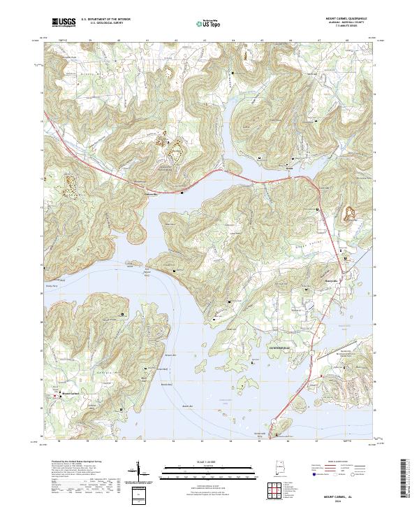
2024 Mount Carmel
Marshall County, AL

2024 Newsome Sinks
Marshall County, AL
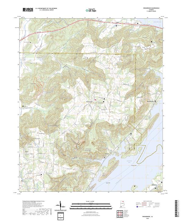
2024 Swearengin
Marshall County, AL
2026 Columbus City
Marshall County, AL
2026 Guntersville Dam
Marshall County, AL
2026 Newsome Sinks
Marshall County, AL