
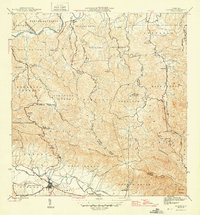
1957 Map of Gurabo
USGS Topo · Published 1959About this map
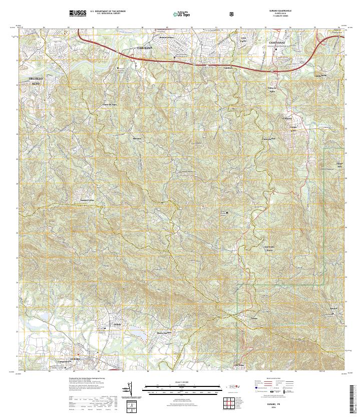
The Rio Grande de Loiza and the Rio Gurabo converge in this mid-century survey of the Puerto Rican interior, defining a landscape of sharp ridges and fertile valleys. The town of Gurabo sits at the southern edge, its growth represented by the Urbanizacion Campamento and several rural schools such as the Escuela Abraham Lincoln and Escuela Jose Gallardo. This era shows a transition from purely agricultural land use to more structured community planning under the guidance of the Department of Public Works. High points like Cerro Gordo and Cerro Pitahaya overlook scattered settlements such as Buenaventura and Maria Jimenez. The presence of the Cementerio Rural de Carruzos and numerous "Escuela Segunda Unidad" locations reflects the mid-island social infrastructure of the late 1950s.
Find a feature on this map
78 named features on this map. Tap any name to fly to it.
Don’t see what you’re looking for? This feature index may not catch every label — zoom into the map to look around manually.
Map Details
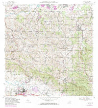
Editions of this 1957 Gurabo Map
This is the sole edition of this map. No revisions or reprints were ever made.
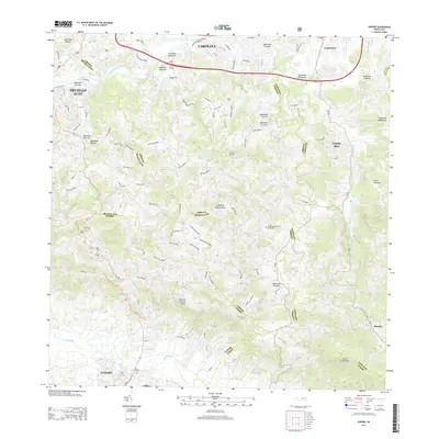
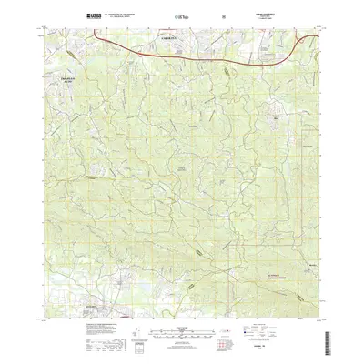
Historical Maps of Gurabo Through Time
9 maps found


Featured Locations
- Gurabo, Gurabo
- La Marina, Canóvanas
- Sector Los Canales, Carolina
- Colinas de Cacao, Carolina
- Sector El Counte, Carolina