
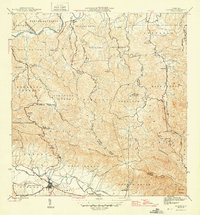
1962 Map of Gurabo
USGS Topo · Published 1965About this map
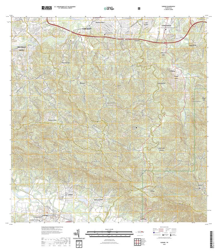
Gurabo serves as a primary hub in this valley landscape where the Río Gurabo and Río Brewer meet. The settlement pattern follows the intricate drainage system of the Río Grande de Loíza, with various schools like the Escuela Abraham Lincoln and Escuela Juan Osuna serving rural barrios. To the northeast, the terrain rises into the Caribbean National Forest, marked by the prominent Cerro Pitahaya. Local industry and infrastructure are represented by several Gravero and Cantera sites, alongside the Planta de Tratamiento de Aguas Negras near the river. This mid-century view captures the transition between the agricultural lowlands and the protected highlands of the Luquillo range, including landmarks like the Cementerio Rural de Gurabo and the Iglesia El Tabor in Campo Rico.
Find a feature on this map
91 named features on this map. Tap any name to fly to it.
Don’t see what you’re looking for? This feature index may not catch every label — zoom into the map to look around manually.
Map Details
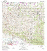
Editions of this 1962 Gurabo Map
This is the sole edition of this map. No revisions or reprints were ever made.
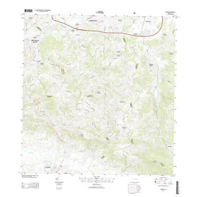
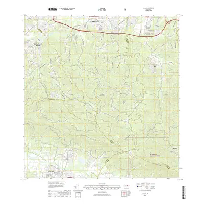
Historical Maps of Gurabo Through Time
9 maps found


Featured Locations
- Gurabo, Gurabo
- La Marina, Canóvanas
- Sector Los Canales, Carolina
- Colinas de Cacao, Carolina
- Sector El Counte, Carolina