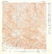
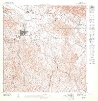
1947 Map of Gurabo SE
USGS Topo · Published 1947About this map
Caribbean National Forest lands dominate the eastern terrain of this 1940s topographic study, illustrating the transition from managed timber and conservation areas to the agricultural valleys below. The intricate drainage network of the Río Canovanillas, Río Canóvanas, and Río Cubuy carves through the steep ridges of the Cuchilla de Hato Nuevo and Cuchilla Asomante.
Find a feature on this map
15 named features on this map. Tap any name to fly to it.
Don’t see what you’re looking for? This feature index may not catch every label — zoom into the map to look around manually.
Map Details
Editions of this 1947 Gurabo SE Map
This is the sole edition of this map. No revisions or reprints were ever made.
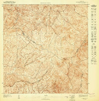
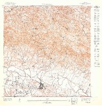
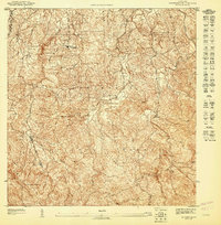
Other maps of this area

1945 · El Yunque
USGS Topo · 1:30,000

1946 · El Yunque
USGS Topo · 1:30,000
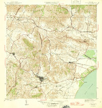
1946 · Humacao
USGS Topo · 1:30,000

1946 · Gurabo
USGS Topo · 1:30,000

1946 · Juncos
USGS Topo · 1:30,000
1947 · El Yunque SO
USGS Topo · 1:10,000
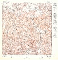
1947 · Gurabo NE
USGS Topo · 1:10,000
1947 · Juncos NE
USGS Topo · 1:10,000
1947 · Gurabo SO
USGS Topo · 1:10,000
1947 · El Yunque NO
USGS Topo · 1:10,000