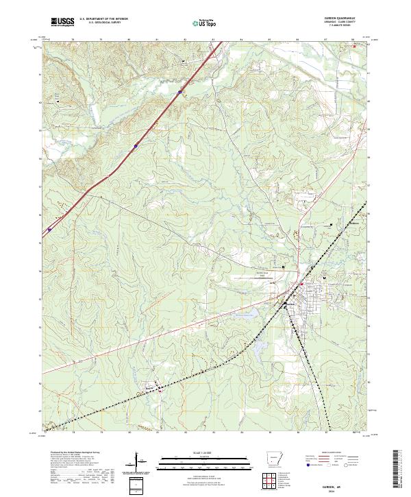
2024 Map of Gurdon
USGS Topo · Published 2024About this map
Gurdon serves as the primary center of activity in this section of Clark County, defined by its grid of residential streets and the aviation hub at Gurdon Lowe Field. The landscape is a network of watercourses, with Terre Noire Creek and its southern fork draining the northern territory, while McNeeley Creek and Coffee Creek weave through the lower elevations. Smaller communities like Beirne and Smithton reflect the rural settlement patterns typical of southern Arkansas, positioned near established rail and road corridors.
Find a feature on this map
100 named features on this map. Tap any name to fly to it.
Don’t see what you’re looking for? This feature index may not catch every label — zoom into the map to look around manually.
Map Details
Editions of this 2024 Gurdon Map
This is the sole edition of this map. No revisions or reprints were ever made.
Other maps of this area

1901 · Gurdon
USGS Topo · 1:125,000

1943 · Antoine
USGS Topo · 1:62,500

1953 · El Dorado
USGS Topo · 1:250,000

1955 · Little Rock
USGS Topo · 1:250,000

1956 · Little Rock
USGS Topo · 1:250,000

1957 · El Dorado
USGS Topo · 1:250,000

1958 · El Dorado
USGS Topo · 1:250,000

1959 · Arkadelphia
USGS Topo · 1:24,000

1960 · El Dorado
USGS Topo · 1:250,000

1960 · Little Rock
USGS Topo · 1:250,000