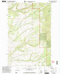
2001 Map of Gurnett Creek East
USGS Topo · Published 2004About this map
Family ranches define the high-country settlement patterns of the Helena National Forest in this central Montana landscape. The map reveals a network of working lands including the Perkins Ranch, Dixon Ranch, and Huth Ranch, many situated along the perennial flows of Duck Creek and Gurnett Creek. The abundance of Grain Bins and specific water sources like Hard Cash Spring and Moonshine Spring points to a landscape balancing livestock grazing with small-scale agriculture. Geographic markers like Pilot Knob and Hooligans Hill provide distinct navigational aids across the complex terrain of the Townsend Ranger District. This 2001 revision also tracks the boundary line between Broadwater and Meagher counties near the high vantage point of Duck Creek Pass.
Find a feature on this map
44 named features on this map. Tap any name to fly to it.
Don’t see what you’re looking for? This feature index may not catch every label — zoom into the map to look around manually.
Map Details
Editions of this 2001 Gurnett Creek East Map
This is the sole edition of this map. No revisions or reprints were ever made.
Other maps of this area

1886 · Fort Logan
USGS Topo · 1:250,000

1948 · White Sulphur Springs
USGS Topo · 1:250,000

1950 · Duck Creek Pass
USGS Topo · 1:62,500

1958 · White Sulphur Springs
USGS Topo · 1:250,000

1961 · White Sulphur Springs
USGS Topo · 1:250,000

1965 · White Sulphur Springs
USGS Topo · 1:250,000

1966 · Boulder Baldy
USGS Topo · 1:24,000

1966 · Diamond City
USGS Topo · 1:24,000
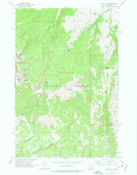
1971 · Mount Edith
USGS Topo · 1:24,000
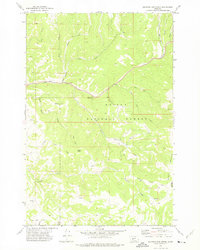
1971 · Sulphur Bar Creek
USGS Topo · 1:24,000