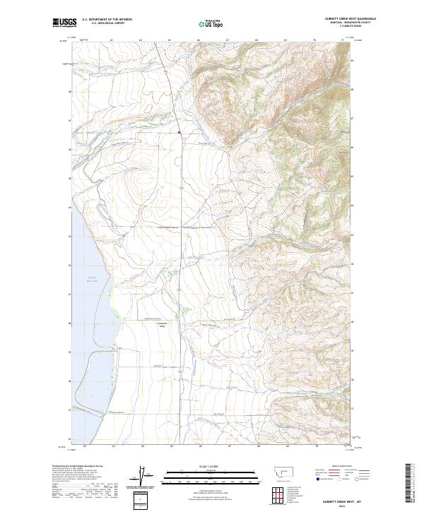
2024 Map of Gurnett Creek West
USGS Topo · Published 2024About this map
Townsend Valley opens into a complex landscape of water management and natural drainages on the eastern shore of Canyon Ferry Lake. The engineering of the local agricultural economy is evident through the path of the Broadwater - Missouri Canal, which snakes across the western flats alongside the Irish Ditch and Highland Ditch. These irrigation systems support the ranching and farming lands that transition into the rising terrain of the Big Belt Mountains to the east.
Find a feature on this map
32 named features on this map. Tap any name to fly to it.
Don’t see what you’re looking for? This feature index may not catch every label — zoom into the map to look around manually.
Map Details
Editions of this 2024 Gurnett Creek West Map
This is the sole edition of this map. No revisions or reprints were ever made.
Other maps of this area

1886 · Fort Logan
USGS Topo · 1:250,000

1948 · White Sulphur Springs
USGS Topo · 1:250,000

1950 · Canyon Ferry
USGS Topo · 1:62,500

1950 · Townsend
USGS Topo · 1:62,500

1950 · Duck Creek Pass
USGS Topo · 1:62,500

1958 · White Sulphur Springs
USGS Topo · 1:250,000

1961 · White Sulphur Springs
USGS Topo · 1:250,000

1965 · White Sulphur Springs
USGS Topo · 1:250,000

1966 · Boulder Baldy
USGS Topo · 1:24,000

1966 · Diamond City
USGS Topo · 1:24,000