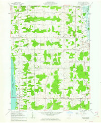
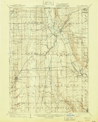
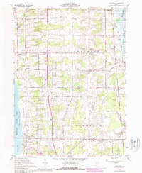
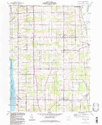
1961 Map of Gustavus
USGS Topo · Published 1963This historical map portrays the area of Gustavus in 1961, primarily covering Trumbull County as well as portions of Ashtabula County. Featuring a scale of 1:24000, this map provides a highly detailed snapshot of the terrain, roads, buildings, counties, and historical landmarks in the Gustavus region at the time. Published in 1963, it is one of 3 known editions of this map due to revisions or reprints.
Find a feature on this map
49 named features on this map. Tap any name to fly to it.
Don’t see what you’re looking for? This feature index may not catch every label — zoom into the map to look around manually.
Map Details
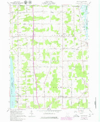
Editions of this 1961 Gustavus Map
3 editions found
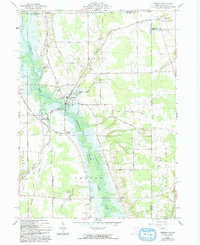
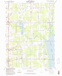
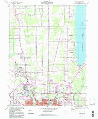
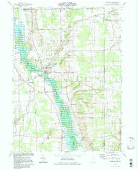
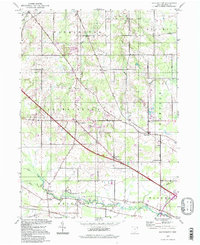
Historical Maps of Colebrook Township Through Time
13 maps found
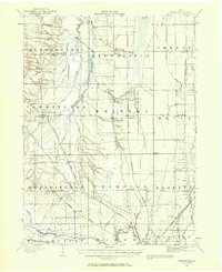
1905 Bristolville
Trumbull County, OH
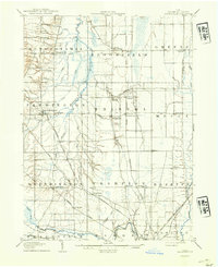
1907 Bristolville
Trumbull County, OH
1907 Kinsman
Trumbull County, OH
1952 Southington
Trumbull County, OH
1960 Bristolville
Trumbull County, OH
1960 Champion
Trumbull County, OH
1961 Gustavus
Trumbull County, OH
1961 Kinsman
Trumbull County, OH
1994 Bristolville
Trumbull County, OH
1994 Champion
Trumbull County, OH
1994 Gustavus
Trumbull County, OH
1994 Kinsman
Trumbull County, OH
1994 Southington
Trumbull County, OH
Featured Locations
- Gustavus Township, OH
- Johnston Township, OH
- Mecca Township, OH
- Johnston, Johnston Township
- Mecca, Mecca Township