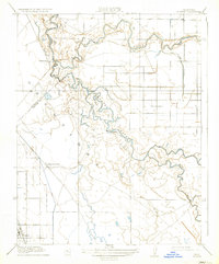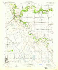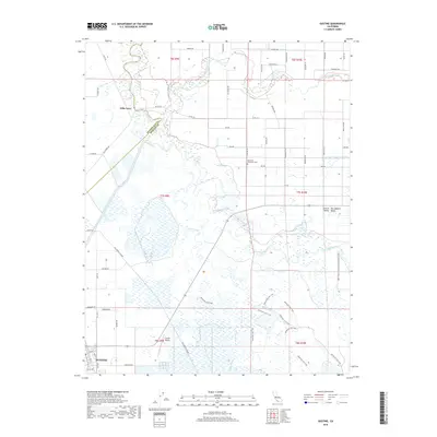
1960 Map of Gustine
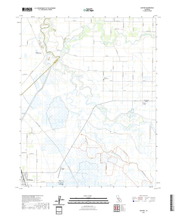
USGS Topo · Published 1973About this map
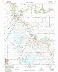
Gustine serves as the primary hub in this corner of the San Joaquin Valley, where the town layout meets the industrial infrastructure of the Gustine Airport and a complex network of Duck Ponds. The landscape is defined by the convergence of the San Joaquin River and the Merced River, creating a riparian corridor rich with history and conservation. Recreational and social gathering points like George J Hatfield State Park and Fremont Ford State Park sit alongside private institutions like the Newman Gun Club and Lone Tree Gun Club, reflecting the area's long-standing connection to waterfowl hunting and river access.
Find a feature on this map
48 named features on this map. Tap any name to fly to it.
Don’t see what you’re looking for? This feature index may not catch every label — zoom into the map to look around manually.
Map Details
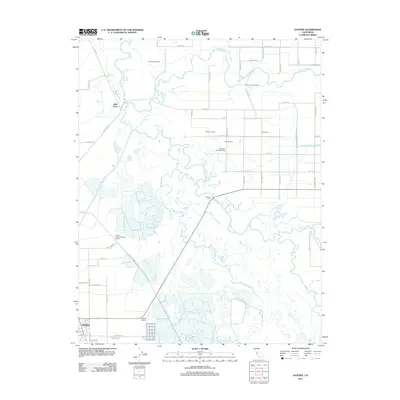
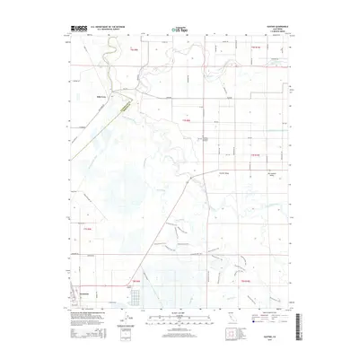
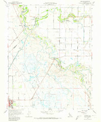
Editions of this 1960 Gustine Map
3 editions found
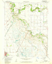
Historical Maps of Gustine Through Time
7 maps found