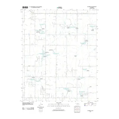
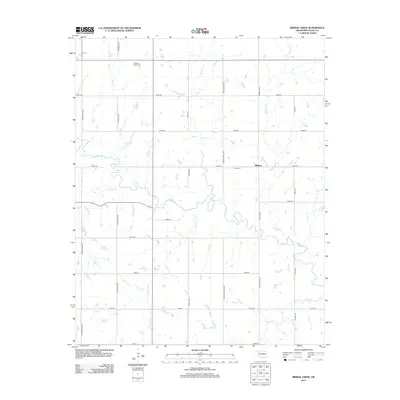
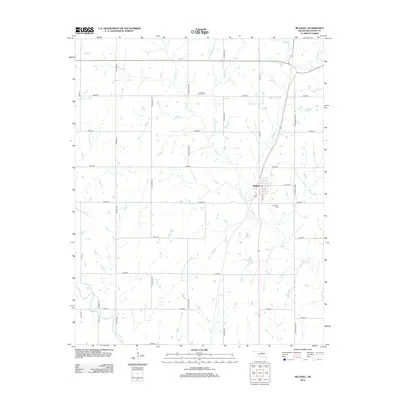
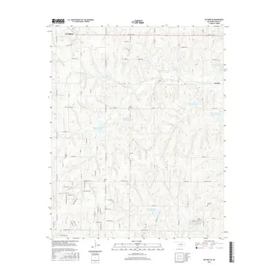
1970 Map of Guthrie SE
USGS Topo · Published 1972About this map
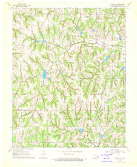
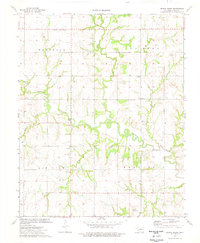
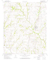
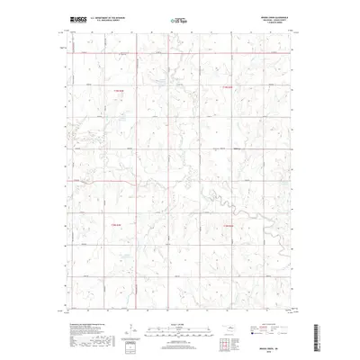
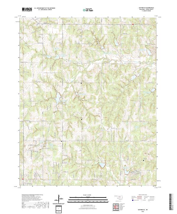
The Northwest Evansville Oil Field dominates the central landscape of this 1970 survey, where a complex network of pipelines and numerous oil wells reflect the industrial energy footprint in Logan County. This rural terrain is divided between the Guthrie and Springvale townships, marked by a scattering of country churches and small family burial grounds. Local history is anchored at Oak Ridge Church and the nearby Oak Ridge Cemetery, while other spiritual centers like Rising Sun Church and Robinson Chapel serve the surrounding farmsteads. The drainage pattern is defined by the winding paths of Bear Creek and Blue Creek, which cut through the undulating hills. For those tracing genealogy or local land use, the map provides exact placements for the Cooper Cemetery and Evansville Cemetery, illustrating the settlement patterns existing just before modern rural expansion.
Find a feature on this map
18 named features on this map. Tap any name to fly to it.
Don’t see what you’re looking for? This feature index may not catch every label — zoom into the map to look around manually.
Map Details
Editions of this 1970 Guthrie SE Map
This is the sole edition of this map. No revisions or reprints were ever made.
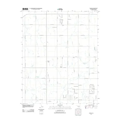
Historical Maps of Guthrie Through Time
37 maps found
1970 Guthrie North
Logan County, OK
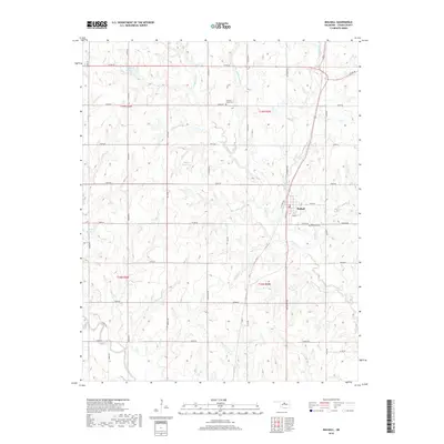
1970 Guthrie SE
Logan County, OK
1970 Guthrie South
Logan County, OK
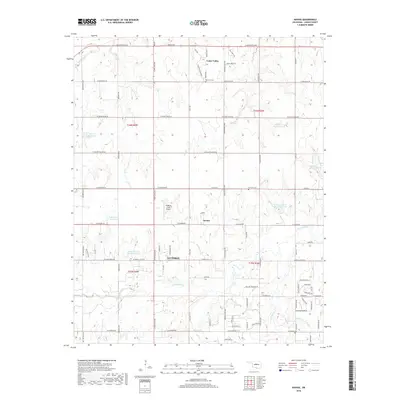
1970 Navina
Logan County, OK
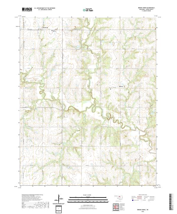
1974 Bridge Creek
Logan County, OK
1974 Mulhall
Logan County, OK

1990 Oklahoma City North
Logan County, OK
2009 Bridge Creek
Logan County, OK
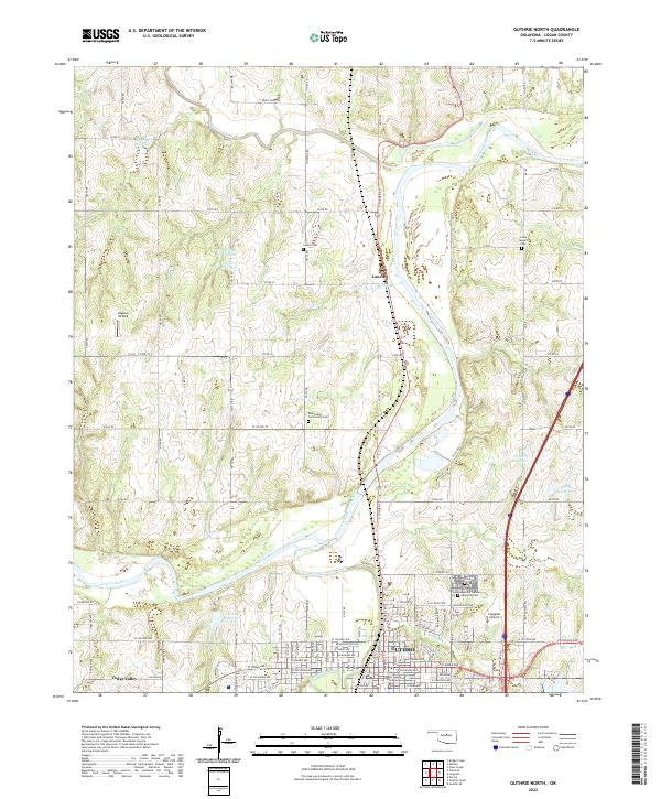
2009 Guthrie North
Logan County, OK
2009 Guthrie SE
Logan County, OK
2009 Mulhall
Logan County, OK
2009 Navina
Logan County, OK
2010 Guthrie South
Logan County, OK
2012 Bridge Creek
Logan County, OK
2012 Guthrie North
Logan County, OK
2012 Guthrie SE
Logan County, OK
2012 Guthrie South
Logan County, OK
2012 Mulhall
Logan County, OK
2012 Navina
Logan County, OK
2016 Bridge Creek
Logan County, OK
2016 Guthrie North
Logan County, OK
2016 Guthrie SE
Logan County, OK
2016 Guthrie South
Logan County, OK
2016 Mulhall
Logan County, OK
2016 Navina
Logan County, OK
2018 Bridge Creek
Logan County, OK
2018 Guthrie North
Logan County, OK
2018 Guthrie SE
Logan County, OK
2018 Guthrie South
Logan County, OK
2018 Mulhall
Logan County, OK
2018 Navina
Logan County, OK
2022 Bridge Creek
Logan County, OK
2022 Guthrie North
Logan County, OK
2022 Guthrie SE
Logan County, OK
2022 Guthrie South
Logan County, OK
2022 Mulhall
Logan County, OK
2022 Navina
Logan County, OK