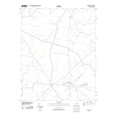
2010 Map of Guthrie
USGS Topo · Published 2010About this map
Guthrie serves as the central hub of this survey along the Kentucky-Tennessee border, where the local grid of streets meets a network of country roads and historical transport corridors. The landscape is defined by the winding paths of Spring Creek and the Elk Fork, which carve through the agricultural terrain. For those tracing the area's development, the presence of Old Railroad Ln provides a clear indicator of former transit routes that once connected these rural communities.
Find a feature on this map
26 named features on this map. Tap any name to fly to it.
Don’t see what you’re looking for? This feature index may not catch every label — zoom into the map to look around manually.
Map Details
Editions of this 2010 Guthrie Map
This is the sole edition of this map. No revisions or reprints were ever made.
Other maps of this area

1944 · Clarksville
USGS Topo · 1:50,000

1950 · Allensville
USGS Topo · 1:24,000

1950 · Guthrie
USGS Topo · 1:24,000

1950 · Pembroke
USGS Topo · 1:24,000

1950 · Olmstead
USGS Topo · 1:24,000

1951 · Pembroke
USGS Topo · 1:24,000

1951 · Elkton
USGS Topo · 1:24,000

1951 · Olmstead
USGS Topo · 1:24,000

1951 · Hammacksville
USGS Topo · 1:24,000

1951 · Clarksville
USGS Topo · 1:24,000