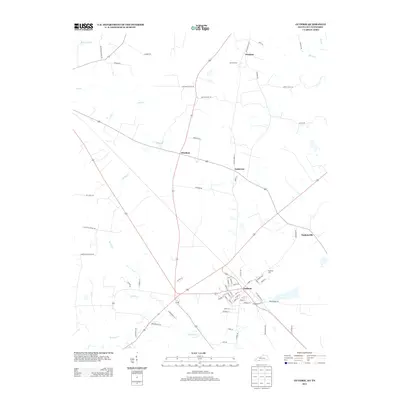
2013 Map of Guthrie
USGS Topo · Published 2013About this map
Guthrie serves as a central hub on this landscape where the Kentucky and Tennessee borderlands meet. The town's grid is dense with named streets like Locust St and Walnut St, reflecting a well-established settlement pattern near the convergence of major regional routes. The surrounding rural landscape is dotted with smaller communities and family-named landmarks, including Pinchem, Anderson, and Hadensville.
Find a feature on this map
67 named features on this map. Tap any name to fly to it.
Don’t see what you’re looking for? This feature index may not catch every label — zoom into the map to look around manually.
Map Details
Editions of this 2013 Guthrie Map
This is the sole edition of this map. No revisions or reprints were ever made.
Other maps of this area

1944 · Clarksville
USGS Topo · 1:50,000

1950 · Allensville
USGS Topo · 1:24,000

1950 · Guthrie
USGS Topo · 1:24,000

1950 · Pembroke
USGS Topo · 1:24,000

1950 · Olmstead
USGS Topo · 1:24,000

1951 · Pembroke
USGS Topo · 1:24,000

1951 · Elkton
USGS Topo · 1:24,000

1951 · Olmstead
USGS Topo · 1:24,000

1951 · Hammacksville
USGS Topo · 1:24,000

1951 · Clarksville
USGS Topo · 1:24,000