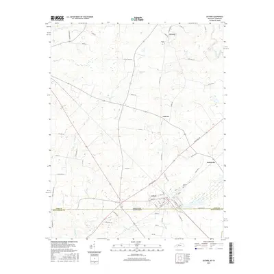
2016 Map of Guthrie
USGS Topo · Published 2016About this map
The border community of Guthrie anchors this survey of the state line between Todd County, Kentucky, and Montgomery County, Tennessee. The landscape is defined by the headwaters of the Elk Fork and Spring Cr, which drain a region transitionally rolling between agricultural fields and localized clusters of development. To the north, the small settlements of Anderson, Hadensville, and Hermon mark the historic rural character of the county.
Find a feature on this map
56 named features on this map. Tap any name to fly to it.
Don’t see what you’re looking for? This feature index may not catch every label — zoom into the map to look around manually.
Map Details
Editions of this 2016 Guthrie Map
This is the sole edition of this map. No revisions or reprints were ever made.
Other maps of this area

1944 · Clarksville
USGS Topo · 1:50,000

1950 · Allensville
USGS Topo · 1:24,000

1950 · Guthrie
USGS Topo · 1:24,000

1950 · Pembroke
USGS Topo · 1:24,000

1950 · Olmstead
USGS Topo · 1:24,000

1951 · Pembroke
USGS Topo · 1:24,000

1951 · Elkton
USGS Topo · 1:24,000

1951 · Olmstead
USGS Topo · 1:24,000

1951 · Hammacksville
USGS Topo · 1:24,000

1951 · Clarksville
USGS Topo · 1:24,000