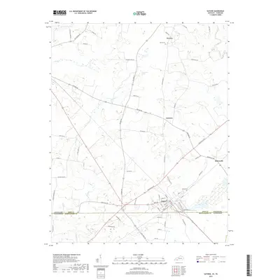
2019 Map of Guthrie
USGS Topo · Published 2019About this map
Guthrie serves as a central hub on this landscape, where the Kentucky Tennessee state line meets the shared border of Todd Co and Montgomery Co. The settlement pattern reflects a reliance on well-established corridors like Russellville Rd and Penchem Rd, which connect smaller communities such as Anderson and Hadensville. Genealogists will find point-level data for local burial sites, including Hermon Cem near the hamlet of Hermon and Highland Cem located just north of the state line.
Find a feature on this map
63 named features on this map. Tap any name to fly to it.
Don’t see what you’re looking for? This feature index may not catch every label — zoom into the map to look around manually.
Map Details
Editions of this 2019 Guthrie Map
This is the sole edition of this map. No revisions or reprints were ever made.
Other maps of this area

1944 · Clarksville
USGS Topo · 1:50,000

1950 · Allensville
USGS Topo · 1:24,000

1950 · Guthrie
USGS Topo · 1:24,000

1950 · Pembroke
USGS Topo · 1:24,000

1950 · Olmstead
USGS Topo · 1:24,000

1951 · Pembroke
USGS Topo · 1:24,000

1951 · Elkton
USGS Topo · 1:24,000

1951 · Olmstead
USGS Topo · 1:24,000

1951 · Hammacksville
USGS Topo · 1:24,000

1951 · Clarksville
USGS Topo · 1:24,000