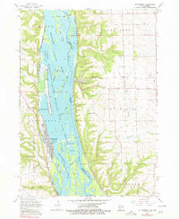
1962 Map of Guttenberg
USGS Topo · Published 1980About this map
The Mississippi River creates a dynamic border between Iowa and Wisconsin here, defining the landscape through a network of side channels and islands. In the early 1960s, the river economy is anchored by Lock and Dam No 10 at Guttenberg, while the sprawling Upper Mississippi River Wildlife and Fish Refuge preserves the ecological complexity of McMillan Island, Goetz Island, and numerous sloughs like Ferry Slough.
Find a feature on this map
45 named features on this map. Tap any name to fly to it.
Don’t see what you’re looking for? This feature index may not catch every label — zoom into the map to look around manually.
Map Details
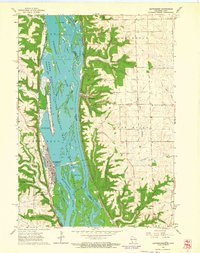
Editions of this 1962 Guttenberg Map
2 editions found
Other maps of this area

1900 · Lancaster
USGS Topo · 1:125,000

1902 · Elkader
USGS Topo · 1:125,000

1904 · Lancaster
USGS Topo · 1:125,000

1908 · Lancaster
USGS Topo · 1:125,000

1955 · Cassville
USGS Topo · 1:24,000

1957 · Turkey River
USGS Topo · 1:24,000

1957 · Colesburg
USGS Topo · 1:24,000

1959 · Dubuque
USGS Topo · 1:250,000

1961 · Dubuque
USGS Topo · 1:250,000

1962 · Dubuque
USGS Topo · 1:250,000