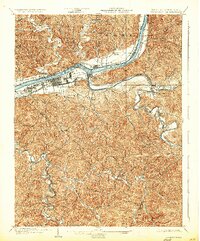
1902 Map of Guyandot
USGS Topo · Published 1923About this map
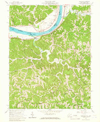
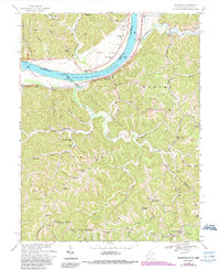
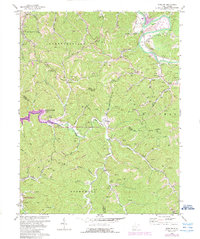
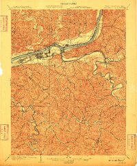
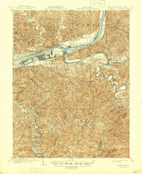
The Ohio River corridor serves as the primary industrial and transport artery for this 1901 survey, where the burgeoning city of Huntington and Central City are defined by an extensive grid of streets and rail infrastructure. Both the Chesapeake and Ohio R. R. and the Baltimore and Ohio R. R. converge here, highlighting the area's role as a regional transit hub. Across the water, Ohio settlements like Proctorville and Bradrick line the shore, while the interior of West Virginia's Cabell and Wayne counties reveals a landscape of steep ridges and winding watercourses.
Find a feature on this map
62 named features on this map. Tap any name to fly to it.
Don’t see what you’re looking for? This feature index may not catch every label — zoom into the map to look around manually.
Map Details
Editions of this 1902 Guyandot Map
4 editions found

Historical Maps of Huntington Through Time
9 maps found