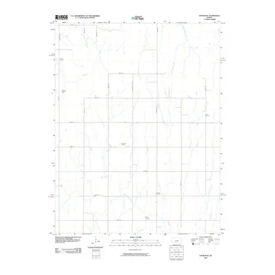
2009 Map of Gypsum SE
USGS Topo · Published 2009About this map
Friedenstal Cemetery and several other burial grounds anchor this rural expanse in Saline County, documenting the enduring presence of local families and faith communities in the early 21st century. The landscape is defined by its drainage systems, including East Holland Creek, West Holland Creek, and the winding North Cottonwood River in the south. These waterways are crossed by a precise grid of rural thoroughfares such as Chisholm Trail Rd and Bison Rd. Petroleum extraction represents the primary industrial footprint, evidenced by the Fanska Oil Field and Fanska South Oil Field in the northwest. Other community landmarks like the Pankratz Cemetery, Baptist Cemetery, and Logan Cemetery provide essential touchpoints for genealogists tracing ancestral roots through this agricultural corridor.
Find a feature on this map
30 named features on this map. Tap any name to fly to it.
Don’t see what you’re looking for? This feature index may not catch every label — zoom into the map to look around manually.
Map Details
Editions of this 2009 Gypsum SE Map
This is the sole edition of this map. No revisions or reprints were ever made.
Other maps of this area

1889 · Newton
USGS Topo · 1:125,000

1889 · Abilene
USGS Topo · 1:125,000

1894 · Newton
USGS Topo · 1:125,000

1894 · Abilene
USGS Topo · 1:125,000

1955 · Gypsum
USGS Topo · 1:24,000

1955 · Hutchinson
USGS Topo · 1:250,000

1959 · Hutchinson
USGS Topo · 1:250,000

1964 · Elmo
USGS Topo · 1:24,000

1964 · Carlton
USGS Topo · 1:24,000
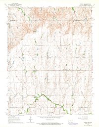
1964 · Gypsum SE
USGS Topo · 1:24,000